


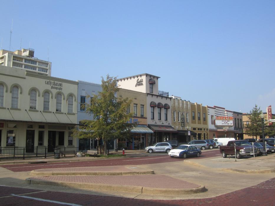
Gallery
_1050469911_700.jpg)


Map and nearest places
| Longitude | Latitude |
|---|---|
| 32.35 | -95.3 |
| 32°21'0"N | 95°17'0"W |
| Nearest places | ||
|---|---|---|
| Tyler Pounds Regional Airport | 9.6km | |
| Mineola | 39.4km | |
| Jacksonville | 43.1km | |
| Wood County Airport | 47.3km | |
| Cherokee County Airport | 54.0km | |
| Athens | 54.2km | |
| Longview | 54.2km | |
| East Texas Regional Airport | 55.4km | |
| Palestine | 73.1km | |
| Marshall | 90.4km | |
| Sulphur Springs Municipal Airport | 94.9km | |
| Harrison County Airport | 95.0km | |
| John Paul II International Airport | 8,851.1km | |
| Sir Gaëtan Duval Airport | 17,472.9km | |
Accomodation
Wineries
Spirits Distillery
Breweries
Airports
Weblinks
Comments
You need to log in to add comment