


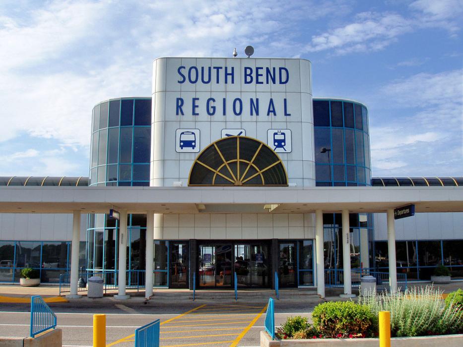
Gallery


Map and nearest places
| Longitude | Latitude |
|---|---|
| 41.7086111111111 | -86.3172222222222 |
| 41°42'0"N | 86°19'0"W |
| Nearest places | ||
|---|---|---|
 | South Bend | 6.9km |
| Elkhart Municipal Airport | 26.1km | |
| Three Oaks | 26.3km | |
| Elkhart | 29.1km | |
| Baroda | 30.8km | |
| La Porte | 35.0km | |
| La Porte Municipal Airport | 37.8km | |
| Michigan City Municipal Airport | 41.9km | |
| Goshen | 42.3km | |
| Southwest Michigan Regional Airport | 47.6km | |
| Goshen Municipal Airport | 48.0km | |
| Starke County Airport | 51.1km | |
| John Paul II International Airport | 7,542.1km | |
| Busselton Regional Airport | 17,915.0km | |
General informations
| Airport type | Regional airport |
| ICAO | KSBN |
| IATA | SBN |
| FAA | SBN |
| Elevation | 799 ft / 244 m MSL |
| World Pax Ranking 2023 | #780(+38) |
| World Pax Ranking 2022 | #818(-95) |
| World Pax Ranking 2021 | #723(+99) |
| World Pax Ranking 2020 | #822(+97) |
| World Pax Ranking 2019 | #919(+40) |
| World Pax Ranking 2018 | #959 |
| World Pax Ranking 2014 | #951(-62) |
| World Pax Ranking 2013 | #889(+2) |
| World Pax Ranking 2012 | #891(-40) |
| World Pax Ranking 2011 | #851(-54) |
| World Pax Ranking 2010 | #797(-34) |
| Year | Pax |
|---|---|
| 2024 | 890980 |
| 2023 | 822738 |
| 2022 | 726156 |
| 2021 | 682686 |
| 2020 | 418428 |
| 2019 | 832280 |
| 2018 | 733234 |
| 2017 | 601000 |
| 2016 | 627000 |
| 2015 | 615000 |
| 2014 | 602255 |
| 2013 | 629287 |
| 2012 | 589030 |
| 2011 | 599127 |
| 2010 | 626597 |
| 2009 | 625077 |
| 2008 | 704418 |
| 2007 | 779356 |
| 2006 | 729619 |
| 2005 | 693675 |
| 2004 | 780033 |
| 2003 | 802191 |
| 2002 | 812080 |
| 2001 | 739407 |
| 2000 | 857740 |
| 1999 | 955232 |
| 1998 | 986350 |
| 1997 | 991457 |
| 1996 | 894247 |
| 1995 | 832918 |
Weblinks
Comments
On 02-12-2020 23:36 Jerzy said:
Distance from South Bend to New York (South Bend International Airport – John F. Kennedy International Airport) is 657 miles / 1058 kilometers / 571 nautical miles.
You need to log in to add comment
Distance from South Bend to New York (South Bend International Airport – John F. Kennedy International Airport) is 657 miles / 1058 kilometers / 571 nautical miles.
You need to log in to add comment