


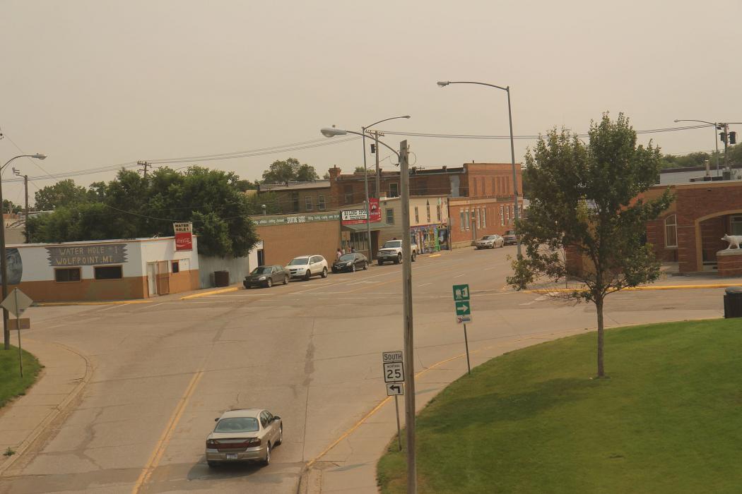
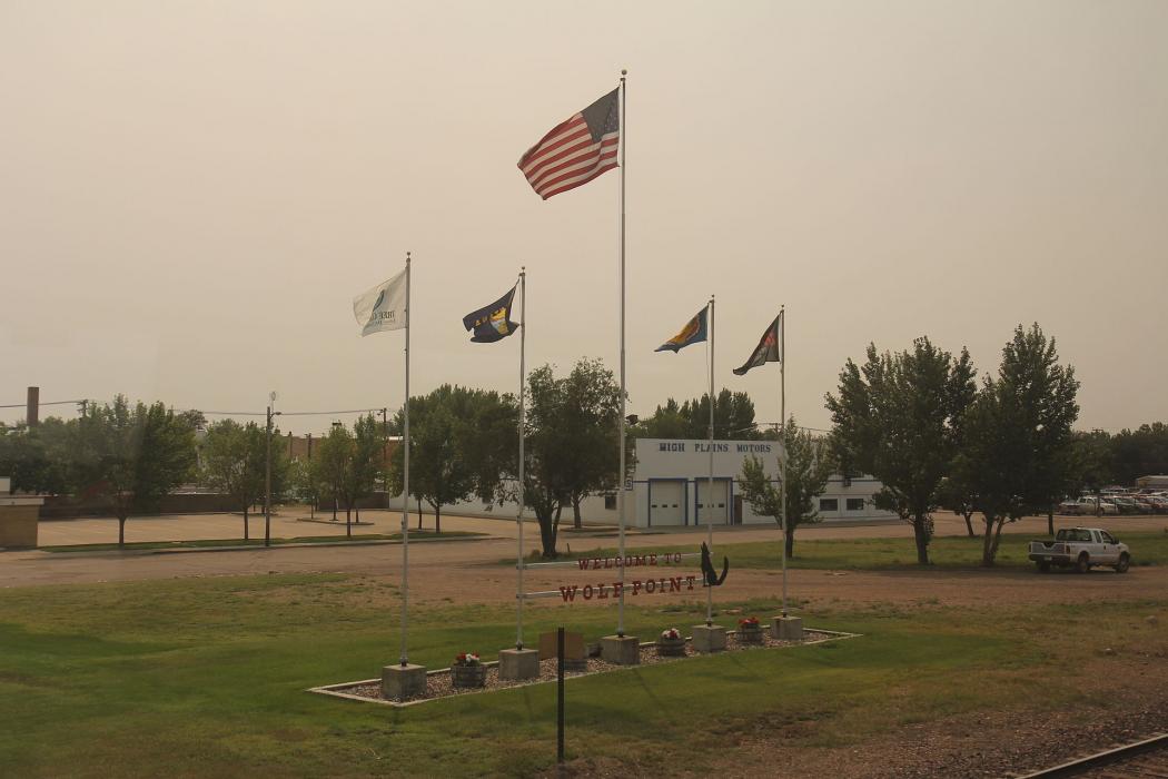
Gallery


Map and nearest places
| Longitude | Latitude |
|---|---|
| 48.0913888888889 | -105.6425 |
| 48°5'0"N | 105°38'0"W |
| Nearest places | ||
|---|---|---|
| L. M. Clayton Airport | 5.0km | |
| Poplar | 33.3km | |
| Glasgow Airport | 73.4km | |
| Glasgow | 74.4km | |
| Circle Town County Airport | 75.1km | |
| Circle | 75.1km | |
| Big Sky Field Airport | 84.8km | |
| Culberston | 85.0km | |
| Plentywood | 110.4km | |
| Sher-Wood Airport | 113.3km | |
| Sidney-Richland Municipal Airport | 116.2km | |
| Sidney | 118.2km | |
| John Paul II International Airport | 7,917.0km | |
| Sir Gaëtan Duval Airport | 16,712.9km | |
Accomodation
Breweries
Airports
Weblinks
Comments
You need to log in to add comment