


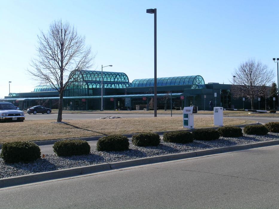
Gallery


Map and nearest places
| Longitude | Latitude |
|---|---|
| 43.1694444444444 | -86.23805555555559 |
| 43°10'0"N | 86°14'0"W |
| Nearest places | ||
|---|---|---|
| Muskegon | 7.2km | |
| Grand Haven | 11.9km | |
| Grand Haven Memorial Airpark | 15.4km | |
| Fremont | 40.9km | |
| Holland | 44.4km | |
| Grandville | 48.2km | |
| Comstock Park | 48.4km | |
| West Michigan Regional Airport | 48.6km | |
| Gerald R. Ford International Airport | 66.4km | |
| Lowell City Airport | 76.5km | |
| Roben-Hood Airport | 85.4km | |
| Mason County Airport | 89.2km | |
| John Paul II International Airport | 7,417.0km | |
| Busselton Regional Airport | 17,865.3km | |
General informations
| Airport type | Local airport |
| ICAO | KMKG |
| IATA | MKG |
| FAA | MKG |
| Elevation | 629 ft / 192 m MSL |
| World Pax Ranking 2022 | #1814 |
| World Pax Ranking 2014 | #1981(-70) |
| World Pax Ranking 2013 | #1911(-60) |
| World Pax Ranking 2012 | #1851(-40) |
| World Pax Ranking 2011 | #1811(-56) |
| World Pax Ranking 2010 | #1755(-42) |
| Year | Pax |
|---|---|
| 2024 | 5646 |
| 2023 | 8989 |
| 2022 | 22500 |
| 2021 | 24750 |
| 2020 | 10522 |
| 2019 | 37160 |
| 2018 | 33540 |
| 2017 | 31000 |
| 2016 | 35000 |
| 2015 | 35000 |
| 2014 | 33396 |
| 2013 | 35912 |
| 2012 | 36080 |
| 2011 | 29493 |
| 2010 | 26414 |
| 2009 | 32009 |
| 2008 | 55972 |
| 2007 | 63214 |
| 2006 | 66345 |
| 2005 | 71514 |
| 2004 | 65753 |
| 2003 | 64166 |
| 2002 | 73522 |
| 2001 | 79548 |
| 2000 | 92210 |
| 1999 | 91589 |
| 1998 | 79123 |
| 1997 | 65226 |
| 1996 | 66486 |
| 1995 | 78846 |
| 1994 | 93546 |
| 1993 | 101801 |
| 1960 | 23081 |
| 1958 | 12662 |
| 1957 | 32403 |
| 1954 | 2640 |
Weblinks
Comments
You need to log in to add comment