


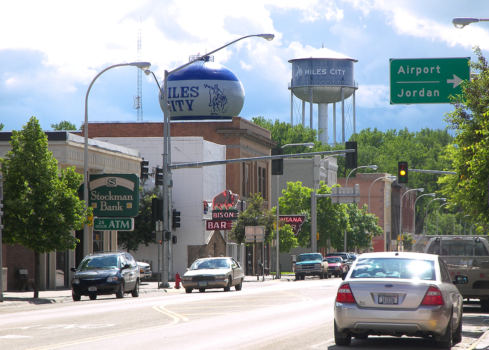
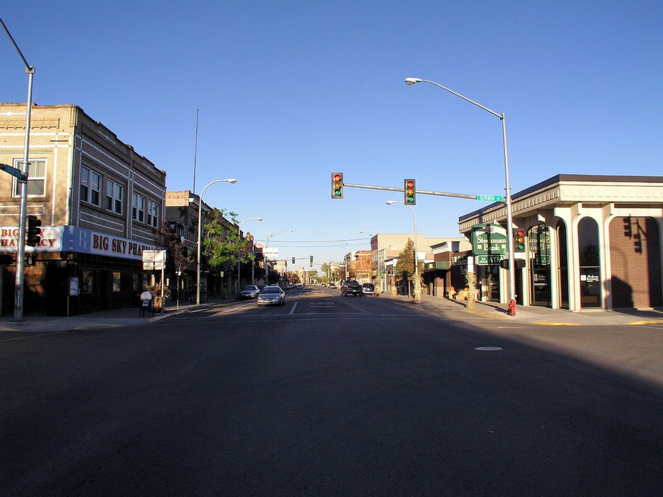
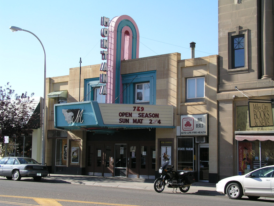
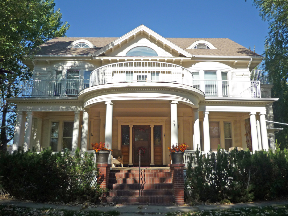
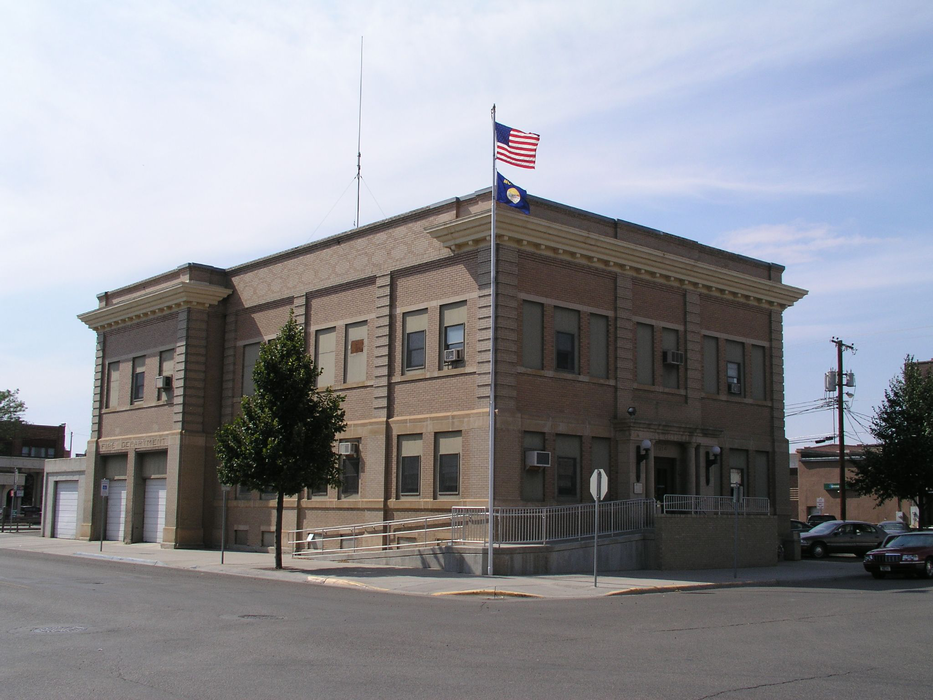
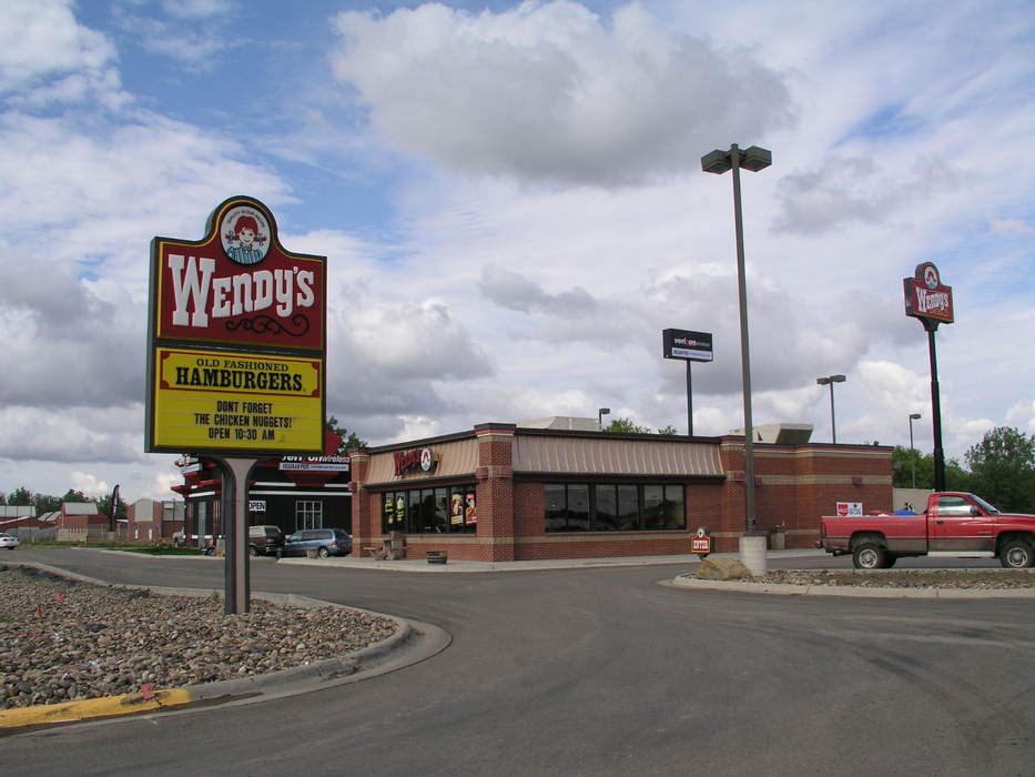
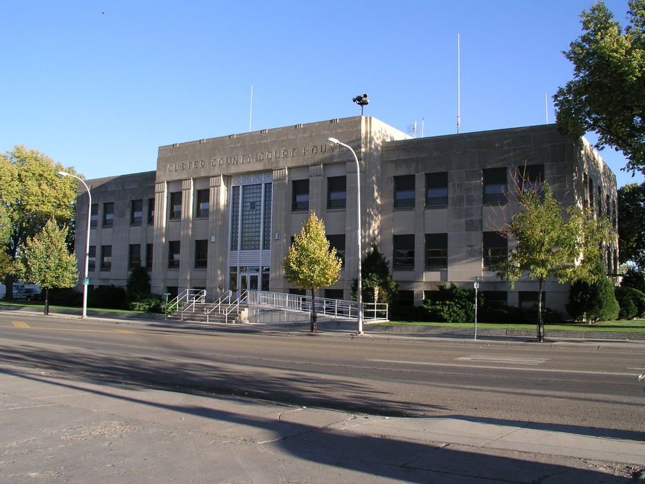
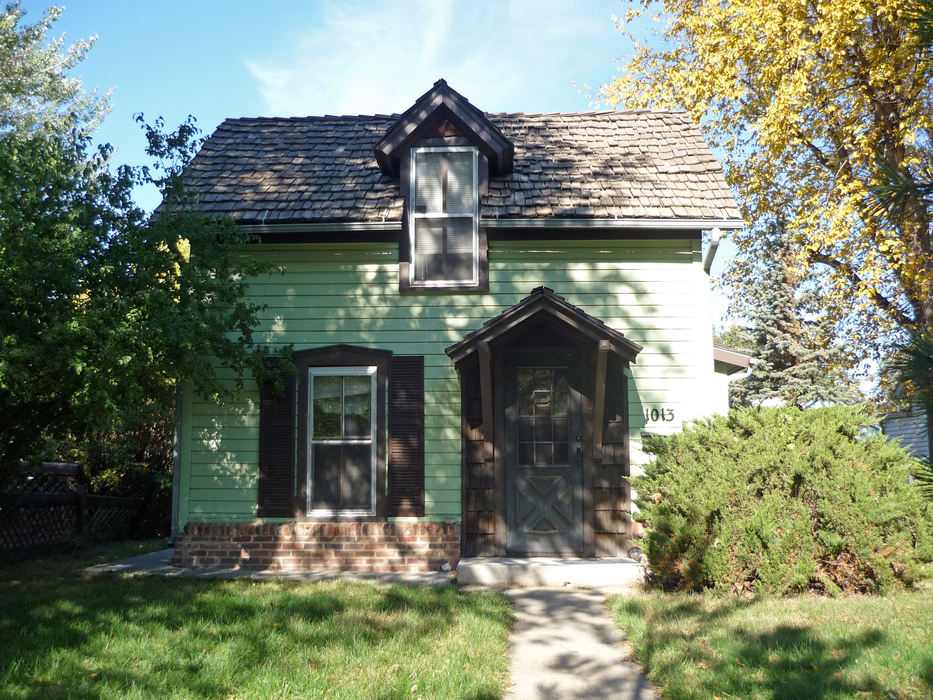
Gallery


Map and nearest places
| Longitude | Latitude |
|---|---|
| 46.4083333333333 | -105.84 |
| 46°24'0"N | 105°50'0"W |
| Nearest places | ||
|---|---|---|
| Miles City Municipal Airport | 4.2km | |
| Forsyth | 66.2km | |
| Broadus Airport | 108.4km | |
| Dawson Community Airport | 113.0km | |
| Broadus | 113.3km | |
| Circle | 113.8km | |
| Circle Town County Airport | 114.3km | |
| Glendive | 116.0km | |
| Baker | 120.1km | |
| Baker Municipal Airport | 121.4km | |
| Jordan Airport | 132.8km | |
| Beach | 151.0km | |
| John Paul II International Airport | 8,081.6km | |
| Sir Gaëtan Duval Airport | 16,892.4km | |
Accomodation
Restaurants
Golfs club
Wineries
Airports
Weblinks
Comments
You need to log in to add comment