


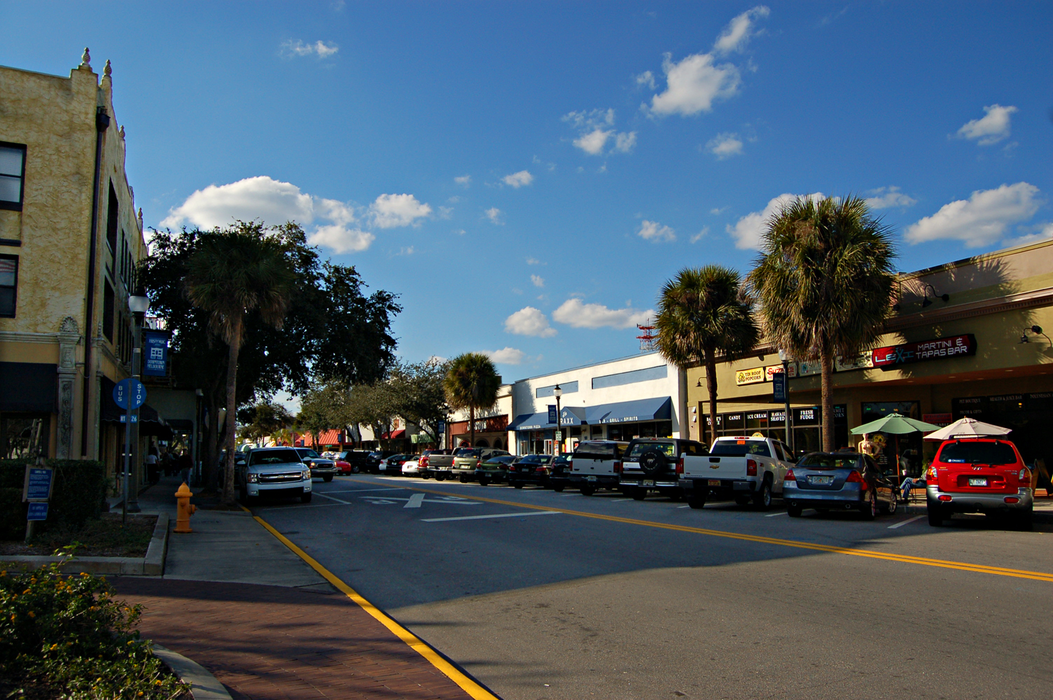
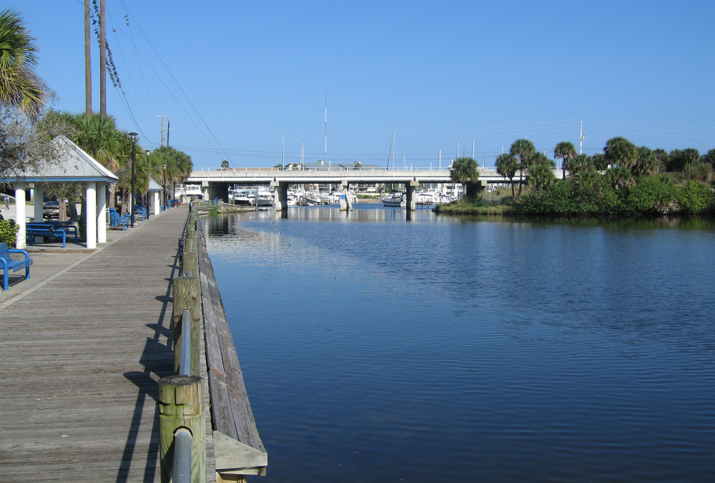
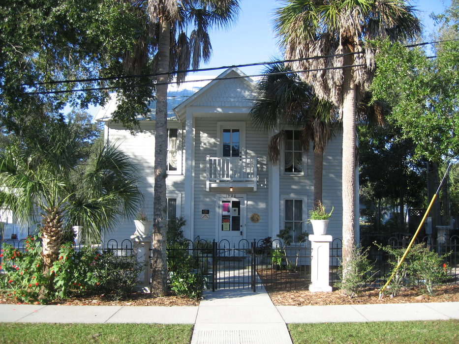
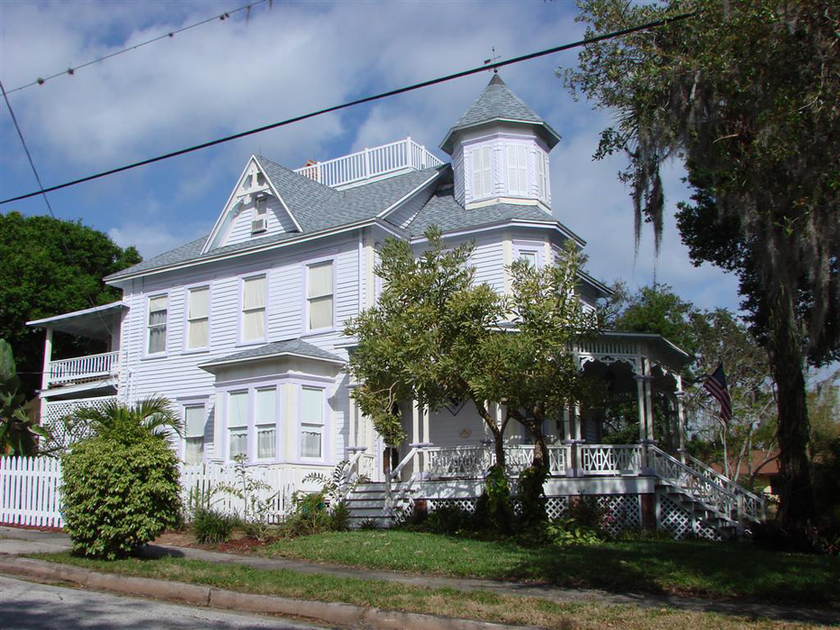
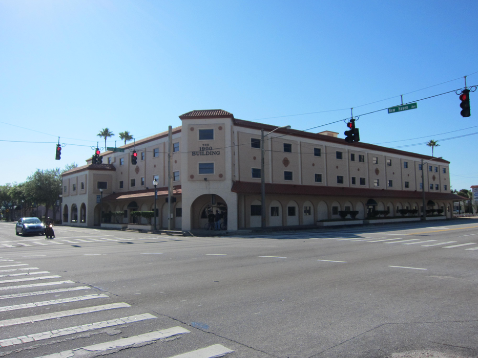
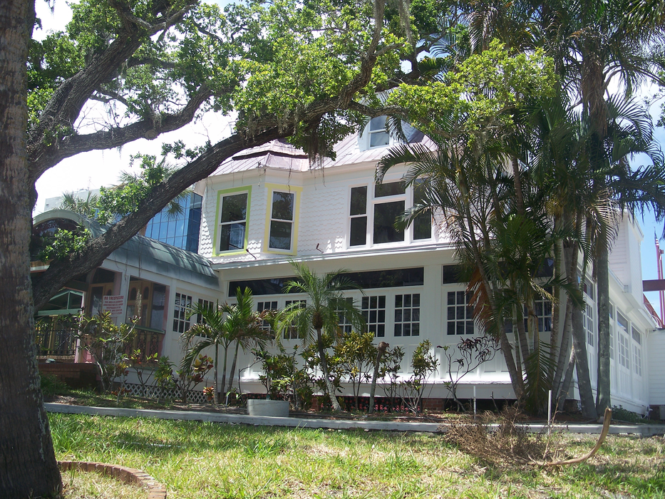
Gallery


Map and nearest places
| Longitude | Latitude |
|---|---|
| 28.115 | -80.6319444444444 |
| 28°6'0"N | 80°37'0"W |
| Nearest places | ||
|---|---|---|
| Melbourne International Airport | 2.0km | |
| Cocoa Beach | 24.1km | |
| Merritt Island Airport | 25.7km | |
| Merritt Island | 27.5km | |
| Space Coast Regional Airport | 47.4km | |
| Vero Beach Municipal Airport | 55.2km | |
 | Titusville | 56.0km |
| Vero Beach | 57.7km | |
| St. Lucie County International Airport | 73.7km | |
| Orlando International Airport | 74.9km | |
 | Kissimmee | 79.3km |
| Fort Pierce | 80.6km | |
| John Paul II International Airport | 8,338.0km | |
| Shark Bay Airport | 18,586.8km | |
Accomodation
Restaurants
Golfs club
Breweries
Airports
Weblinks
Comments
You need to log in to add comment