


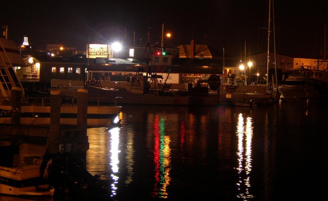
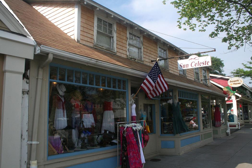
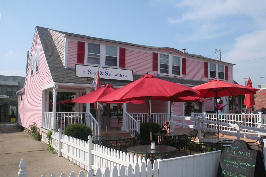
Gallery


Map and nearest places
| Longitude | Latitude |
|---|---|
| 41.652778 | -70.283333 |
| 41°39'0"N | 70°16'0"W |
| Nearest places | ||
|---|---|---|
| Barnstable Municipal Airport | 1.9km | |
| Dennis | 11.8km | |
 | Mashpee | 16.5km |
| Harwich | 17.6km | |
 | Brewster | 20.4km |
 | Sandwich | 21.1km |
| Chatham Municipal Airport | 24.7km | |
 | Chatham | 27.0km |
| Katama Airpark | 38.4km | |
| Marthas Vineyard Airport | 39.9km | |
| Plymouth Municipal Airport | 46.7km | |
| Provincetown Municipal Airport | 46.9km | |
| John Paul II International Airport | 6,604.3km | |
| Busselton Regional Airport | 18,999.2km | |
Accomodation
Restaurants
Marinas
Golfs club
Breweries
Airports
Weblinks
Comments
You need to log in to add comment