


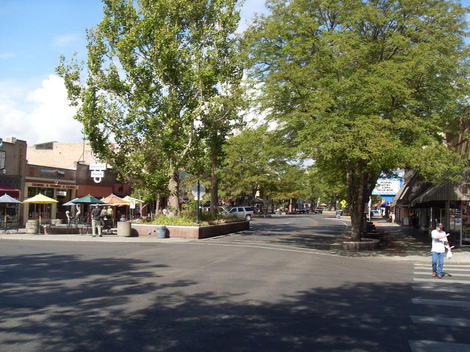
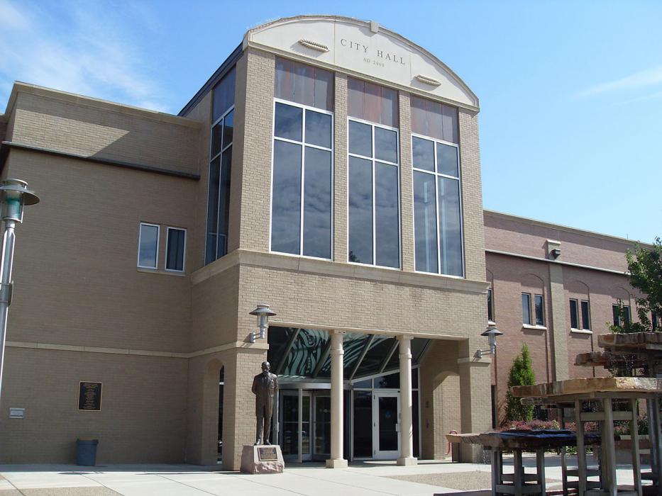
Gallery


Map and nearest places
| Longitude | Latitude |
|---|---|
| 39.064722222222194 | -108.564444444444 |
| 39°3'0"N | 108°33'0"W |
| Nearest places | ||
|---|---|---|
| Grand Junction Regional Airport | 7.2km | |
| Palisade | 18.8km | |
| Westwinds Airport | 49.6km | |
| Blake Field Airport | 53.2km | |
| Delta | 56.4km | |
| Cedaredge | 58.4km | |
| Olathe | 71.8km | |
| Hotchkiss | 79.0km | |
| North Fork Valley Airport | 83.6km | |
| Montrose Regional Airport | 84.8km | |
| Rifle | 85.3km | |
| Garfield County Regional Airport | 88.5km | |
| John Paul II International Airport | 8,892.3km | |
| Sir Ga�tan Duval Airport | 17,732.8km | |
Restaurants
Golfs club
Wineries
Breweries
Airports
Weblinks
Comments
You need to log in to add comment