


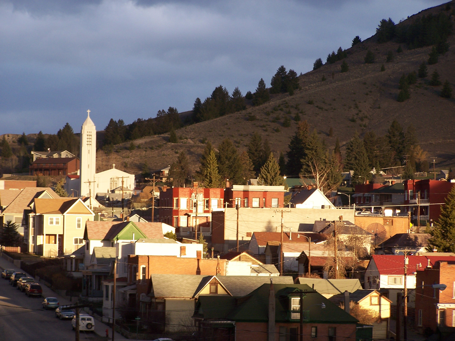
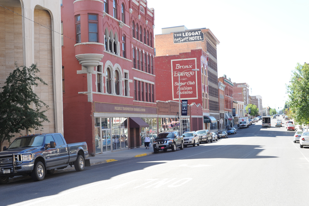


Map and nearest places
| Longitude | Latitude |
|---|---|
| 46.0063888888889 | -112.529722222222 |
| 46°0'0"N | 112°31'0"W |
| Nearest places | ||
|---|---|---|
| Bert Mooney Airport | 6.3km | |
| Bowman Field | 30.8km | |
| Anaconda | 35.7km | |
| Wise River | 40.3km | |
| Wise River Airport | 43.8km | |
| Deer Lodge-City-County Airport | 46.0km | |
| Deer Lodge | 46.1km | |
| Twin Bridges | 53.6km | |
| Twin Bridges Airport | 55.4km | |
| Sheridan | 66.4km | |
| Philipsburg | 69.3km | |
| Helena Regional Airport | 78.9km | |
| John Paul II International Airport | 8,386.8km | |
| Sir Ga�tan Duval Airport | 17,072.3km | |
Restaurants
Museums
Golfs club
Spirits Distillery
Breweries
Airports
Weblinks
Comments
On 04-18-2020 16:32 Jerzy said:
There are 75.28 miles from Butte to Bozeman in southeast direction and 85 miles (136.79 kilometers) by car, following the I-90 E route.
You need to log in to add comment
There are 75.28 miles from Butte to Bozeman in southeast direction and 85 miles (136.79 kilometers) by car, following the I-90 E route.
You need to log in to add comment