


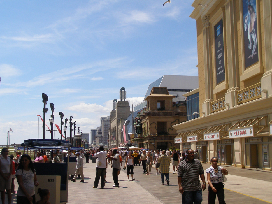
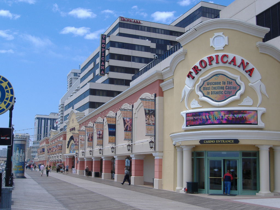
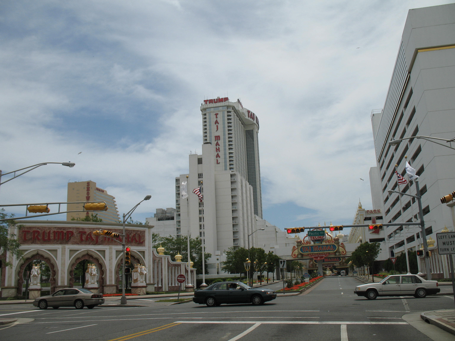
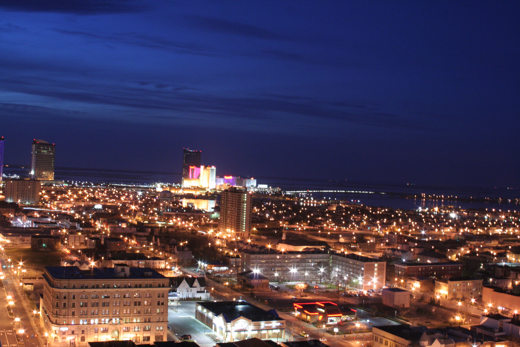
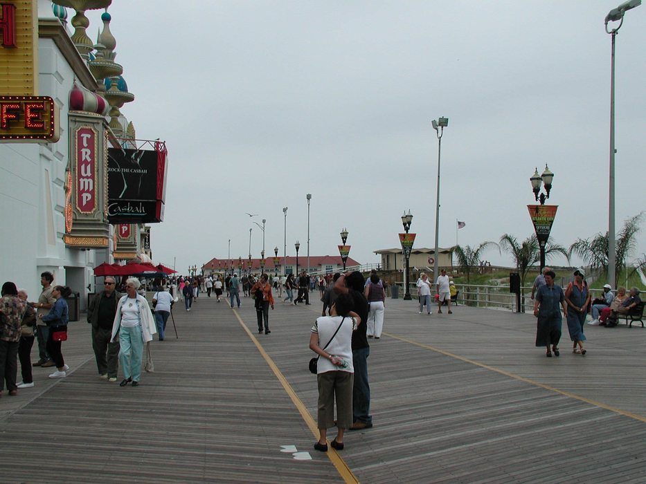
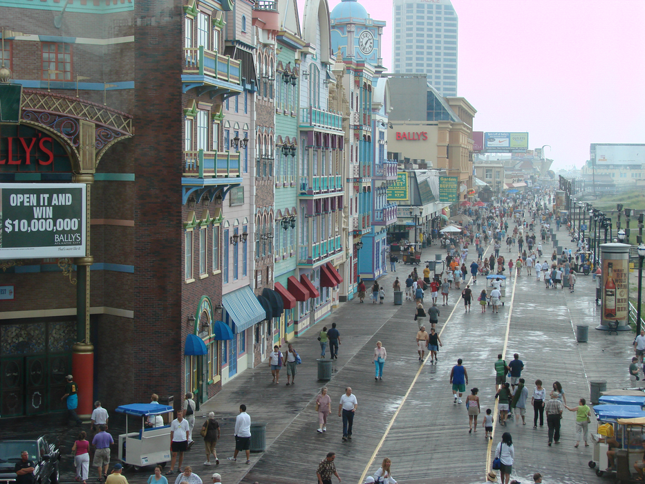
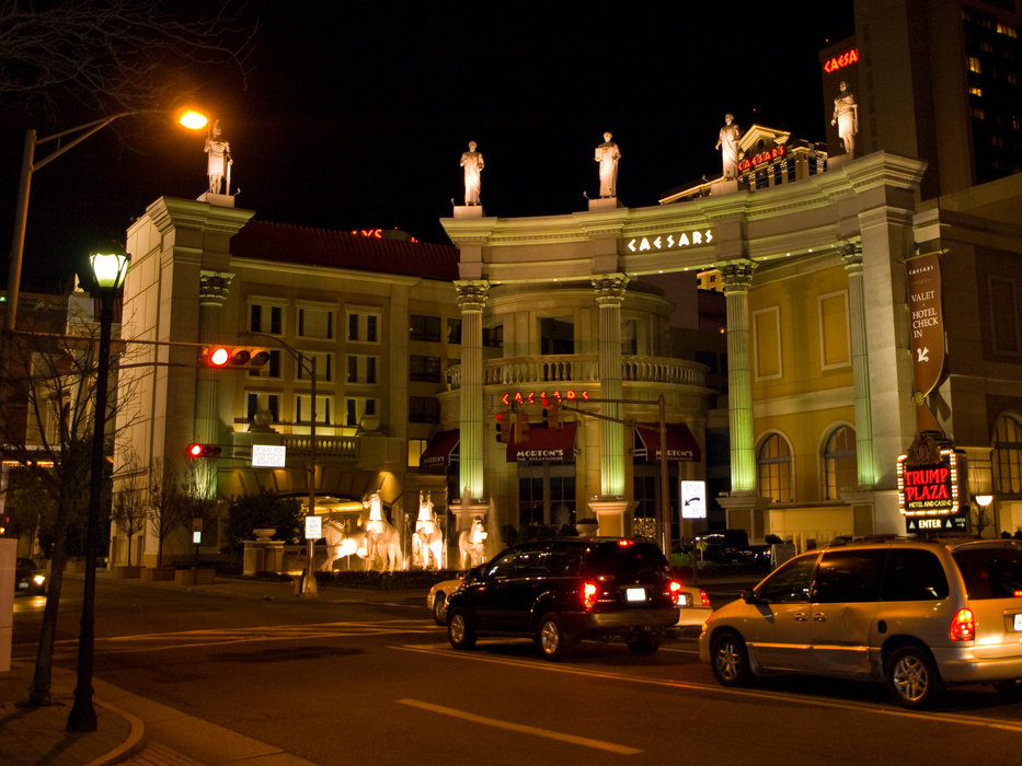
Gallery


Map and nearest places
| Longitude | Latitude |
|---|---|
| 39.3775 | -74.451111 |
| 39°22'0"N | 74°27'0"W |
| Nearest places | ||
|---|---|---|
| Egg Harbor Township | 12.8km | |
| Atlantic City International Airport | 14.0km | |
| Ocean City | 17.8km | |
| Ocean City Municipal Airport | 18.5km | |
| Mays Landing | 24.9km | |
| Sea Isle City | 32.6km | |
| Hammonton | 41.4km | |
| Hammonton Municipal Airport | 41.6km | |
| Landisville | 44.9km | |
| Millville Municipal Airport | 53.4km | |
| Cape May County Airport | 56.9km | |
| Cross Keys Airport | 61.8km | |
| John Paul II International Airport | 7,034.4km | |
| Busselton Regional Airport | 18,932.9km | |
Accomodation
Restaurants
Spirits Distillery
Breweries
Airports
Weblinks
Comments
You need to log in to add comment