


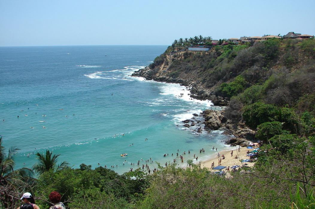
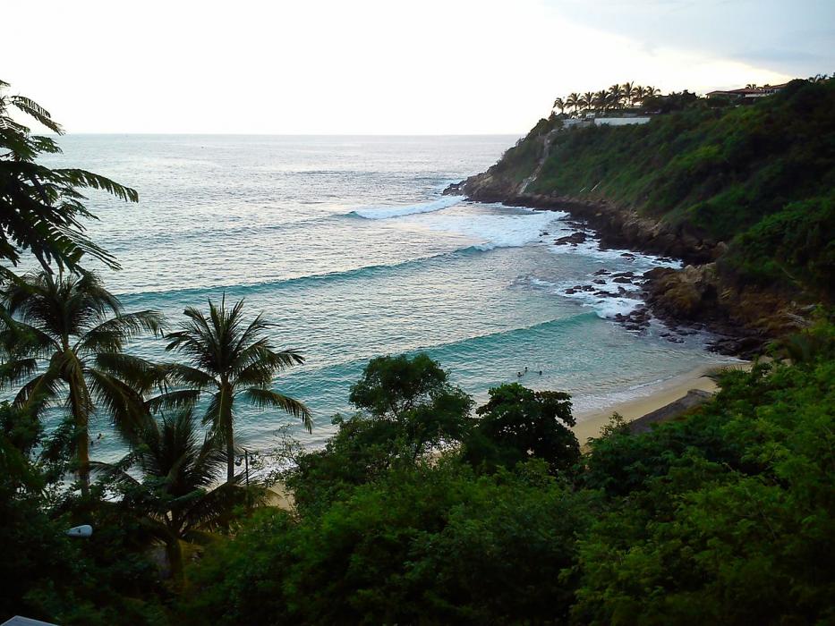
Gallery


Map and nearest places
| Longitude | Latitude |
|---|---|
| 15.861944 | -97.067222 |
| 15°51'0"N | 97°4'0"W |
| Nearest places | ||
|---|---|---|
| Puerto Escondido International Airport | 2.9km | |
 | Huatulco | 78.5km |
| Bahias de Huatulco International Airport | 86.8km | |
| Aeropuerto Internacional Xoxocotl | 131.6km | |
 | Oaxaca | 140.0km |
 | Tehuacan | 291.2km |
| Tehuacan Airport | 295.4km | |
| General Juan N. Alvarez International Airport | 303.5km | |
| Chilpancingo | 319.9km | |
 | Acapulco | 320.5km |
| Chilpancingo National Airport | 322.7km | |
| Minatitlan | 356.8km | |
| John Paul II International Airport | 10,448.9km | |
| Cocos Islands Airport | 18,461.3km | |
Airports
Weblinks
Comments
You need to log in to add comment