


Map and nearest places
| Longitude | Latitude |
|---|---|
| 31.739444 | -106.486944 |
| 31°44'0"N | 106°29'0"W |
| Nearest places | ||
|---|---|---|
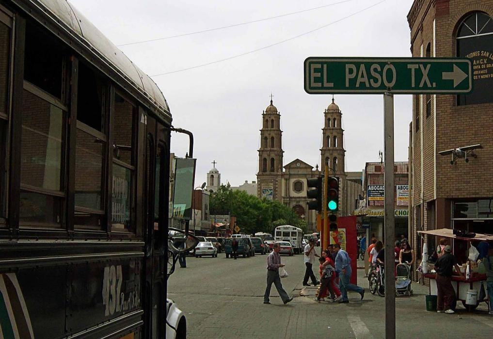
 | El Paso | 8.3km |
| Abraham Gonzales International Airport | 12.7km | |
| El Paso International Airport | 12.8km | |
| Las Cruces | 69.7km | |
| Las Cruces International Airport | 73.6km | |
| Hatch | 120.8km | |
| Hatch Municipal Airport | 122.4km | |
| Deming Municipal Airport | 130.0km | |
| Alamogordo-White Sands Regional Airport | 131.0km | |
| Deming | 133.0km | |
| Alamogordo | 138.2km | |
| Cloudcroft | 152.2km | |
| John Paul II International Airport | 9,493.8km | |
| Sir Gaėtan Duval Airport | 18,341.2km | |
Airports
Weblinks
Comments
You need to log in to add comment