


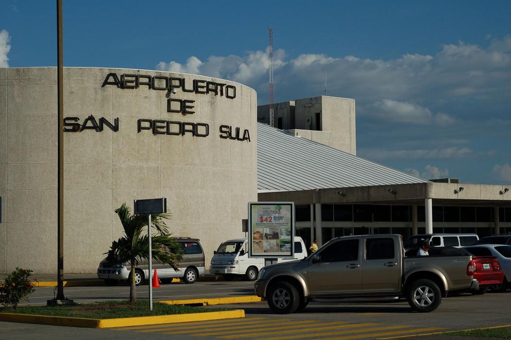
Gallery


Map and nearest places
| Longitude | Latitude |
|---|---|
| 15.452777777777799 | -87.9236111111111 |
| 15°27'0"N | 87°55'0"W |
| Nearest places | ||
|---|---|---|
| San Pedro Sula | 10.4km | |
| Puerto Barrios Airport | 77.2km | |
| Puerto Barrios | 79.2km | |
| Livingston | 97.9km | |
| Punta Gorda | 118.9km | |
| Goloson International Airport | 119.1km | |
| Punta Gorda Airport | 119.7km | |
| Santa Rosa de Copan | 119.7km | |
| Placencia | 127.1km | |
| Placencia Airport | 129.3km | |
| Utila Airport | 131.7km | |
| Toncontin International Airport | 172.4km | |
| John Paul II International Airport | 9,904.4km | |
| Cocos Islands Airport | 19,386.2km | |
General informations
| Airport type | Regional airport |
| ICAO | MHLM |
| IATA | SAP |
| Elevation | 91 ft / 28 m MSL |
| World Pax Ranking 2023 | #731(-24) |
| World Pax Ranking 2022 | #707 |
| World Pax Ranking 2018 | #839 |
| World Pax Ranking 2016 | #808(-31) |
| World Pax Ranking 2015 | #777(+162) |
| World Pax Ranking 2014 | #939(-128) |
| World Pax Ranking 2013 | #811(-20) |
| World Pax Ranking 2012 | #791(-38) |
| World Pax Ranking 2011 | #753(-21) |
| World Pax Ranking 2010 | #732(-4) |
| Year | Pax |
|---|---|
| 2025 | 1241037 |
| 2024 | 1345926 |
| 2023 | 1270997 |
| 2022 | 1142635 |
| 2018 | 1022294 |
| 2016 | 889078 |
| 2015 | 881196 |
| 2014 | 617526 |
| 2013 | 763000 |
| 2012 | 769460 |
| 2011 | 783000 |
| 2010 | 741000 |
| 2009 | 697000 |
| 2008 | 840592 |
| 2007 | 694412 |
| 2006 | 593374 |
| 2005 | 586120 |
| 2004 | 565208 |
| 2003 | 522452 |
| 2002 | 502414 |
| 2001 | 495627 |
| 2000 | 635859 |
| 1999 | 511951 |
| 1996 | 279520 |
| 1995 | 384259 |
Weblinks
Comments
You need to log in to add comment