


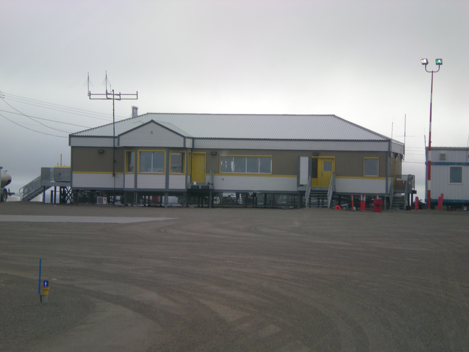
Gallery


Map and nearest places
| Longitude | Latitude |
|---|---|
| 68.635556 | -95.85027 |
| 68°38'0"N | 95°51'0"W |
| Nearest places | ||
|---|---|---|
| Gjoa Haven | 1.5km | |
| Taloyoak Airport | 135.6km | |
| Taloyoak | 136.2km | |
| Kugaaruk | 244.7km | |
| Kugaaruk Airport | 245.5km | |
| Cambridge Bay | 373.6km | |
| Cambridge Bay Airport | 375.6km | |
| Repulse Bay | 469.9km | |
| Repulse Bay Airport | 470.4km | |
| Baker Lake | 480.1km | |
| Baker Lake Airport | 482.9km | |
| Igloolik Airport | 563.8km | |
| John Paul II International Airport | 5,803.1km | |
| Albany Airport | 15,727.5km | |
General informations
| Airport type | Local airport |
| ICAO | CYHK |
| IATA | YHK |
| Elevation | 152 ft / 46 m MSL |
| World Pax Ranking 2010 | #2288 |
| Year | Pax |
|---|---|
| 2010 | 0 |
| 2009 | 0 |
| 2008 | 0 |
| 2007 | 0 |
| 2006 | 0 |
Weblinks
Comments
You need to log in to add comment