


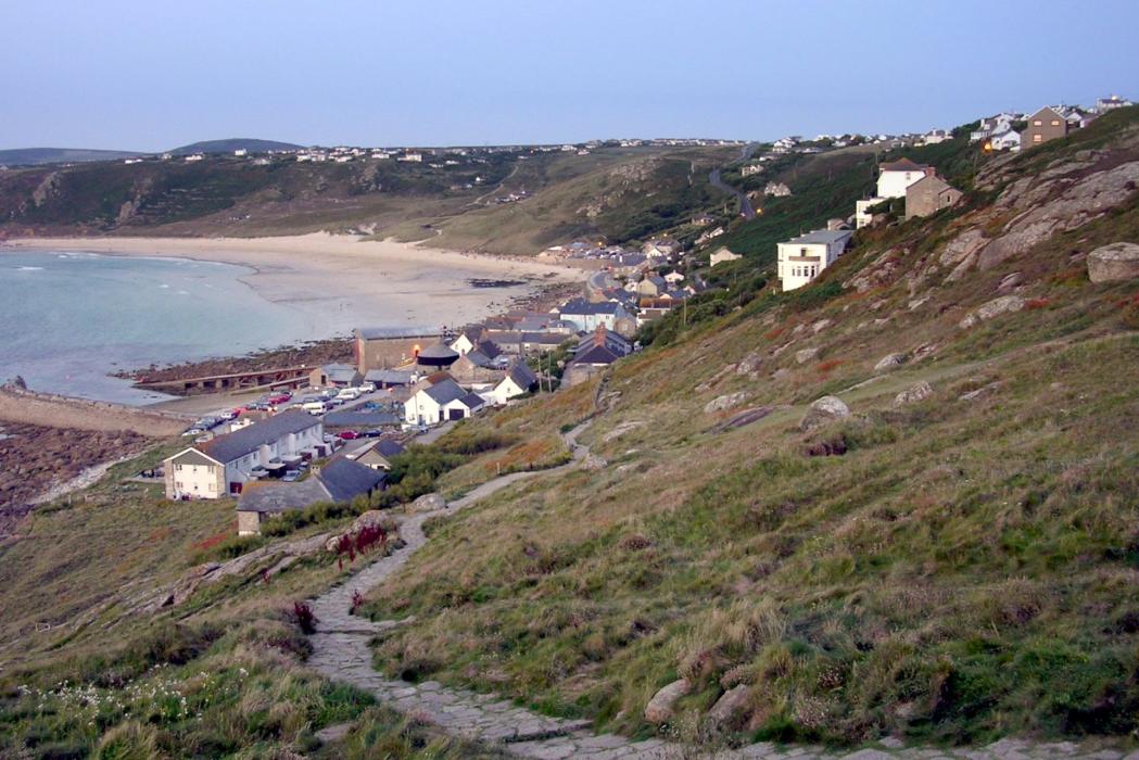
Gallery


Map and nearest places
| Longitude | Latitude |
|---|---|
| 50.07 | -5.69527777777778 |
| 50°4'0"N | 5°41'0"W |
| Nearest places | ||
|---|---|---|
| Land's End Airport | 4.0km | |
| St Just | 6.3km | |
| Penzance | 10.7km | |
| Mousehole | 11.2km | |
| Penzance Heliport | 14.2km | |
| Marazion | 16.5km | |
| St Ives | 21.9km | |
| Helston | 30.5km | |
| Predannack Airfield | 34.1km | |
| St. Mary's Airport | 46.1km | |
| Perranporth Airfield | 47.0km | |
| Tresco Heliport | 47.5km | |
| John Paul II International Airport | 1,809.5km | |
| Dunedin International Airport | 19,462.6km | |
Accomodation
Weblinks
Comments
You need to log in to add comment