


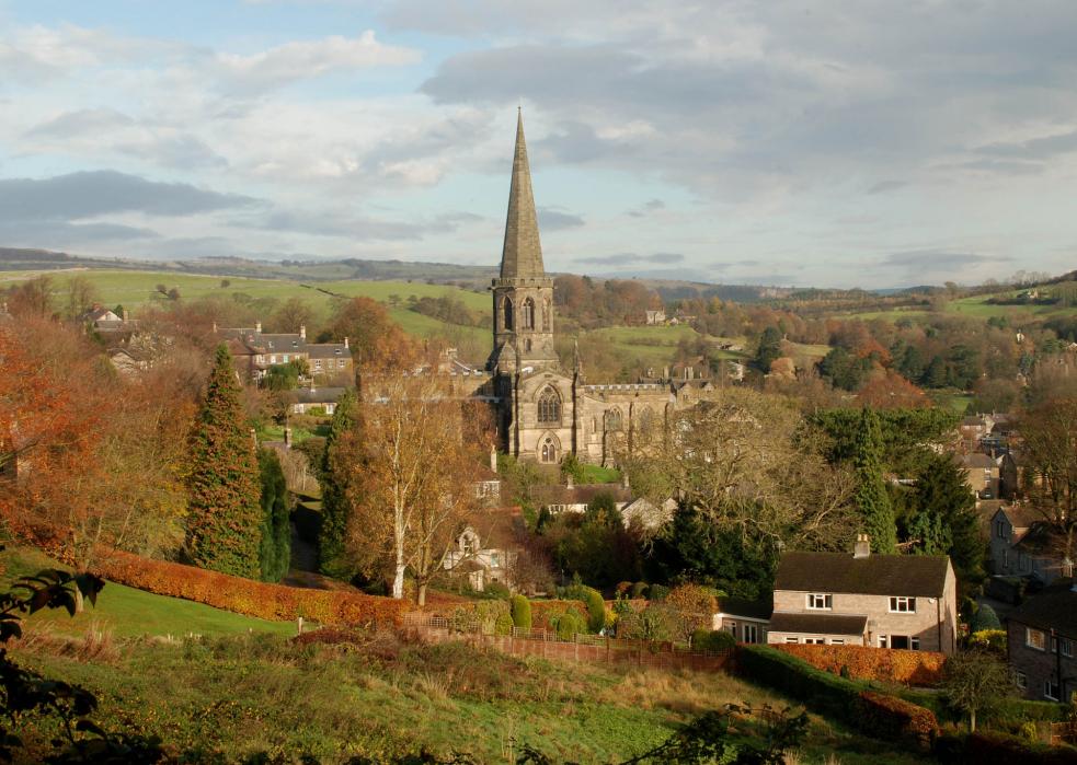


Map and nearest places
| Longitude | Latitude |
|---|---|
| 53.212777777777795 | -1.67777777777778 |
| 53°12'0"N | 1°40'0"W |
| Nearest places | ||
|---|---|---|
| Baslow | 5.8km | |
| Matlock | 11.7km | |
| Buxton | 16.3km | |
| Castleton | 16.4km | |
 | Chesterfield | 16.9km |
| Chapel-en-le-Frith | 19.6km | |
| Manchester Airport | 42.7km | |
| East Midlands Airport | 48.5km | |
| Nottingham Airport | 51.6km | |
| Robin Hood Airport Doncaster Sheffield | 53.4km | |
| Leeds Bradford International Airport | 72.7km | |
| Liverpool John Lennon Airport | 79.1km | |
| John Paul II International Airport | 1,515.1km | |
| Dunedin International Airport | 19,016.8km | |
Accomodation
Restaurants
Breweries
Weblinks
Comments
You need to log in to add comment