


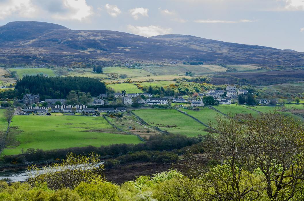
Gallery


Map and nearest places
| Longitude | Latitude |
|---|---|
| 58.4783333333333 | -4.41805555555556 |
| 58°28'0"N | 4°25'0"W |
| Nearest places | ||
|---|---|---|
| Bettyhill | 13.4km | |
| Durness | 21.6km | |
| Altnaharra | 22.1km | |
| Scourie | 45.0km | |
| Lairg | 51.0km | |
 | Thurso | 53.7km |
| Wick Airport | 77.1km | |
| Kirkwall Airport | 102.3km | |
| Inverness Airport | 106.3km | |
| Stornoway Airport | 115.4km | |
| Eday Airport | 123.5km | |
| Stronsay Airport | 127.0km | |
| John Paul II International Airport | 1,813.1km | |
| Stewart Island Airport | 18,634.4km | |
Accomodation
Restaurants
Weblinks
Comments
You need to log in to add comment