


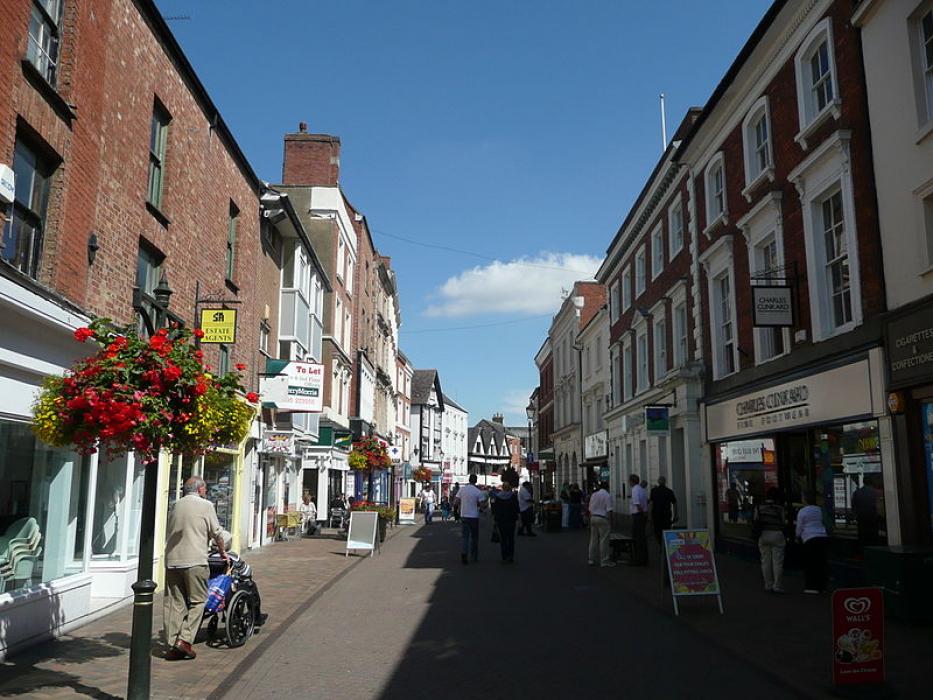
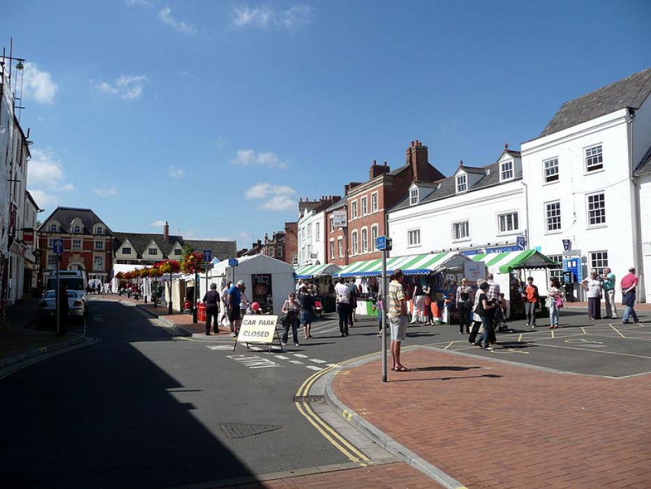
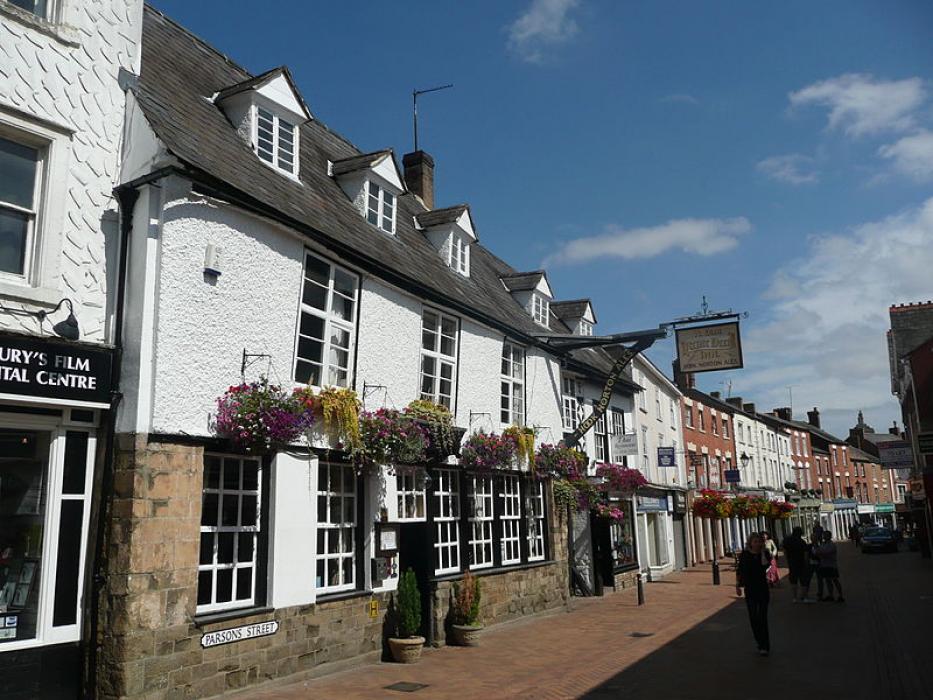
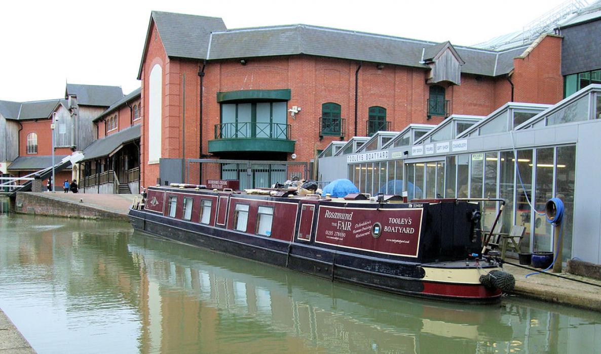


Map and nearest places
| Longitude | Latitude |
|---|---|
| 52.060555555555595 | -1.33611111111111 |
| 52°3'0"N | 1°20'0"W |
| Nearest places | ||
|---|---|---|
| Brackley | 13.3km | |
| Shipston on Stour | 19.6km | |
| Chipping Norton | 20.4km | |
| Woodstock | 23.2km | |
| Oxford Airport | 24.9km | |
| Buckingham | 25.0km | |
| Daventry | 25.2km | |
| Coventry Airport | 35.7km | |
| Birmingham International Airport | 52.0km | |
| Gloucester Airport | 59.9km | |
| London Luton Airport | 69.4km | |
| East Midlands Airport | 85.7km | |
| John Paul II International Airport | 1,486.7km | |
| Dunedin International Airport | 19,096.3km | |
Accomodation
Restaurants
Museums
Weblinks
Comments
You need to log in to add comment