


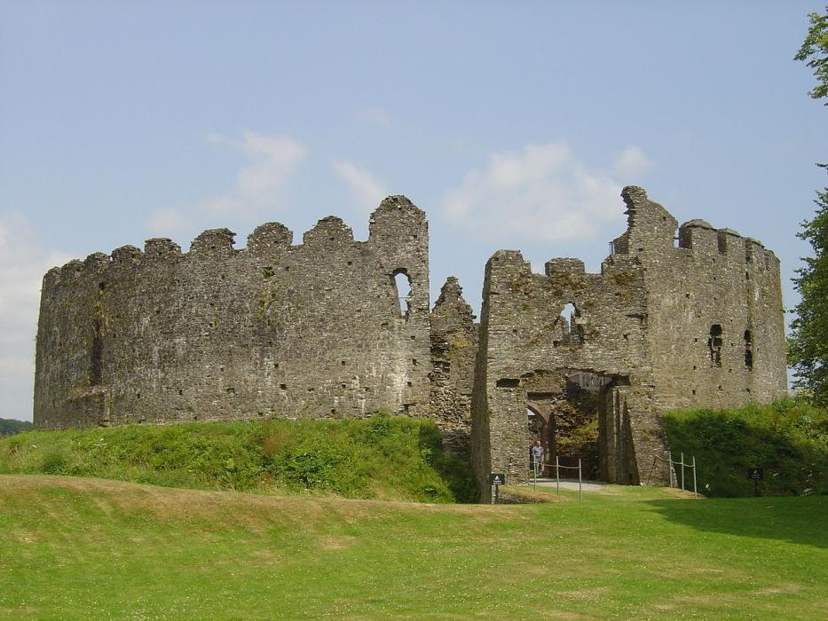
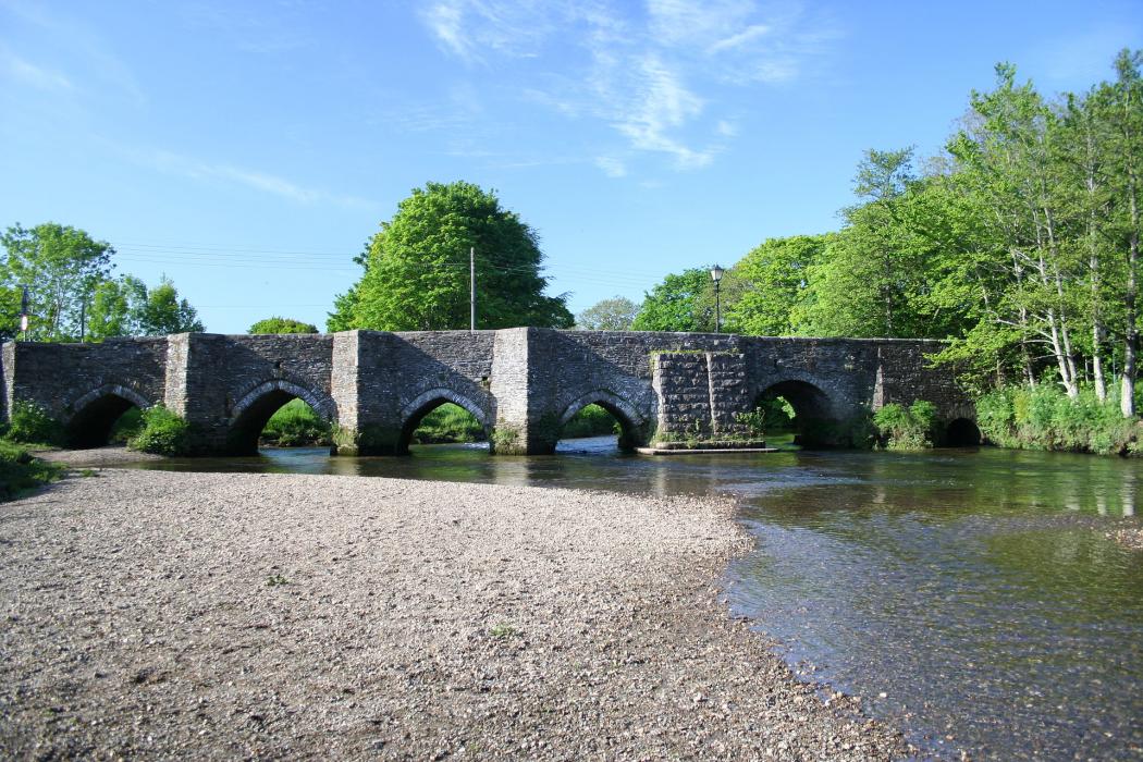
Gallery


Map and nearest places
| Longitude | Latitude |
|---|---|
| 50.407222222222195 | -4.66972222222222 |
| 50°24'0"N | 4°40'0"W |
| Nearest places | ||
|---|---|---|
| Bodmin | 7.4km | |
| Fowey | 8.6km | |
| St Austell | 12.4km | |
| Polperro | 13.1km | |
| Liskeard | 15.1km | |
| Looe | 16.4km | |
| Newquay Cornwall International Airport | 23.4km | |
| Perranporth Airfield | 37.0km | |
| Plymouth City Airport | 40.0km | |
| Predannack Airfield | 60.4km | |
| Penzance Heliport | 67.9km | |
| Land's End Airport | 78.8km | |
| John Paul II International Airport | 1,731.6km | |
| Dunedin International Airport | 19,388.6km | |
Accomodation
Restaurants
Museums
Spirits Distillery
Breweries
Weblinks
Comments
You need to log in to add comment