


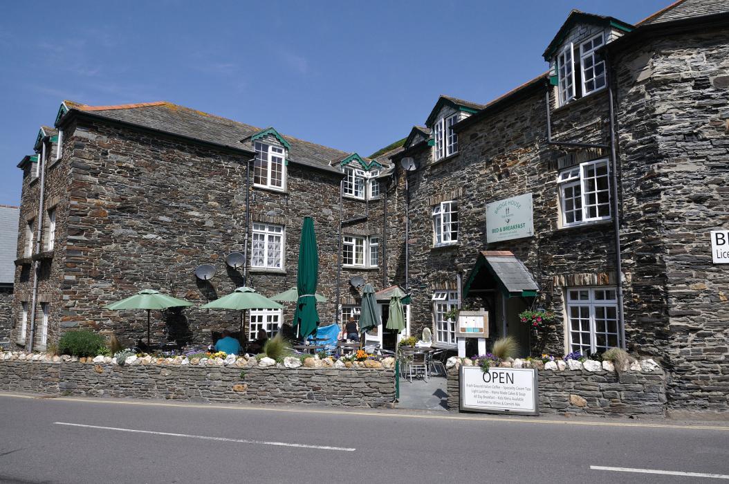
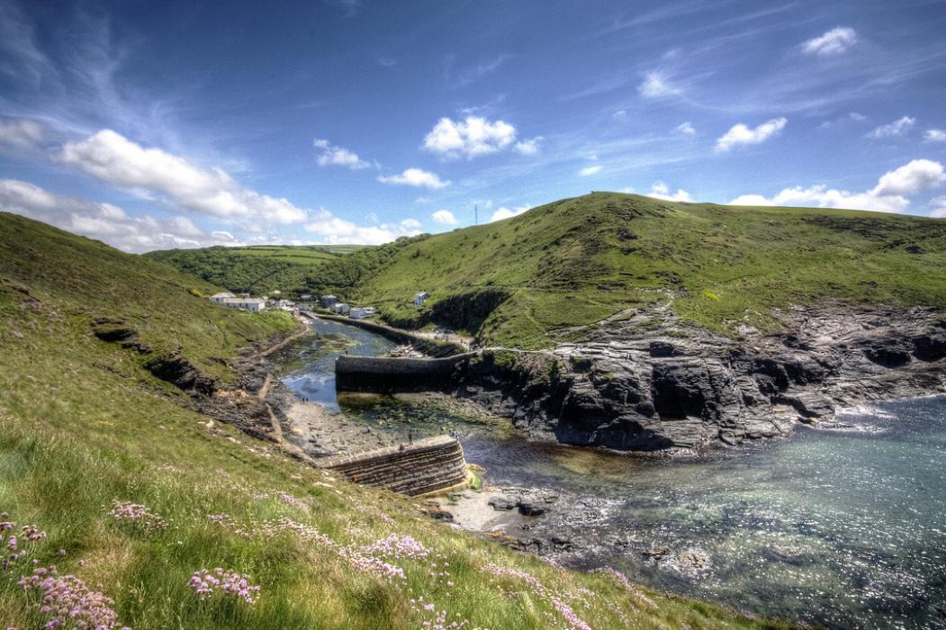
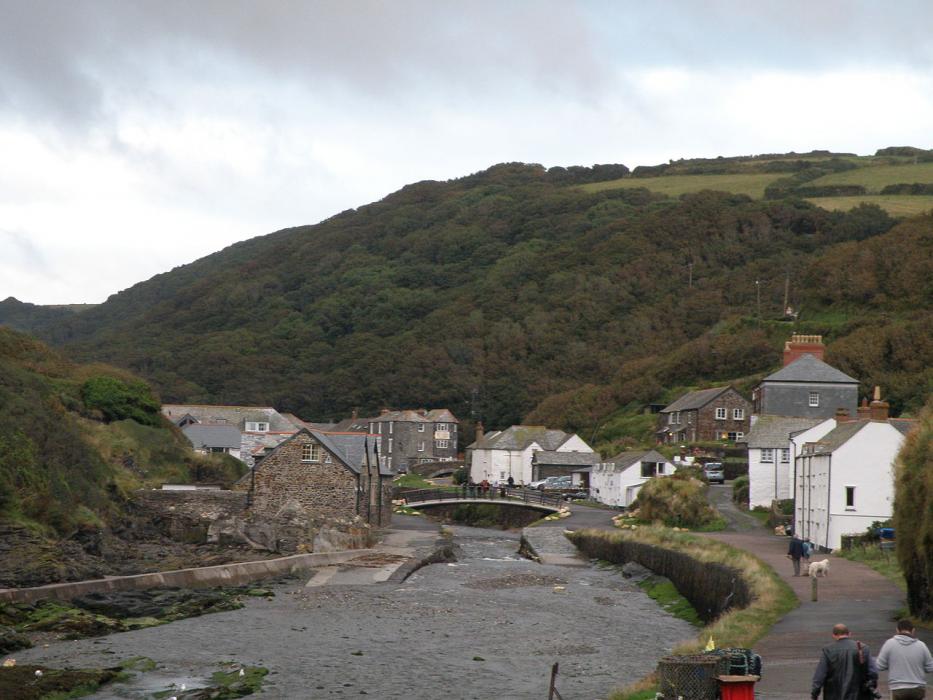
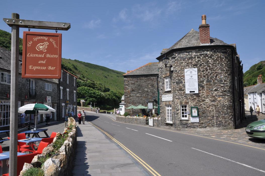
Gallery


Map and nearest places
| Longitude | Latitude |
|---|---|
| 50.6961111111111 | -4.693055555555561 |
| 50°41'0"N | 4°41'0"W |
| Nearest places | ||
|---|---|---|
| Tintagel | 5.2km | |
| Camelford | 8.9km | |
| Port Isaac | 15.0km | |
| Bude | 18.3km | |
| Padstow | 24.8km | |
| Launceston | 24.9km | |
| Newquay Cornwall International Airport | 35.5km | |
| Plymouth City Airport | 51.4km | |
| Perranporth Airfield | 53.1km | |
| Penzance Heliport | 86.1km | |
| Predannack Airfield | 86.4km | |
| Exeter International Airport | 90.2km | |
| John Paul II International Airport | 1,728.9km | |
| Dunedin International Airport | 19,364.4km | |
Accomodation

Weblinks
Comments
You need to log in to add comment