


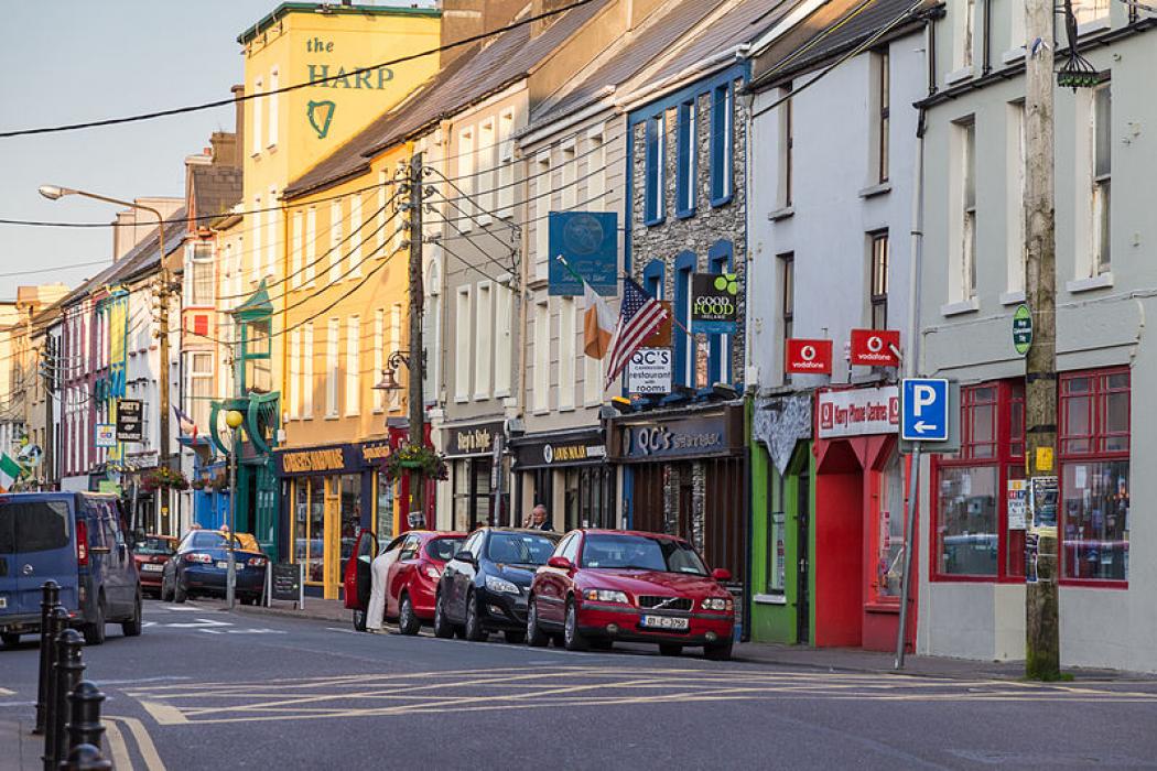
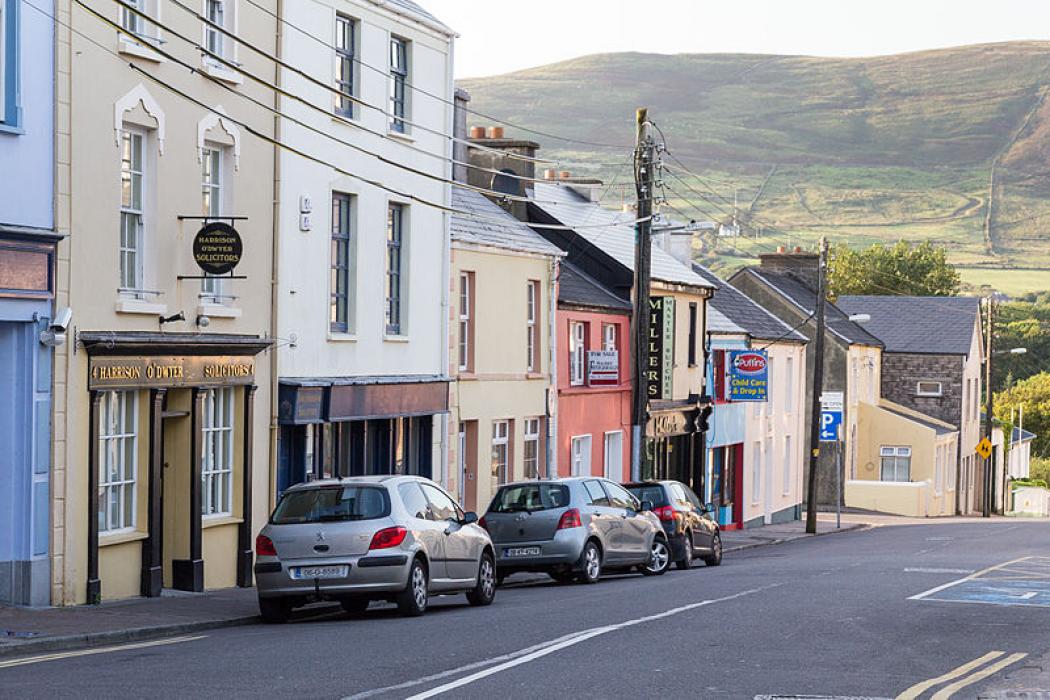
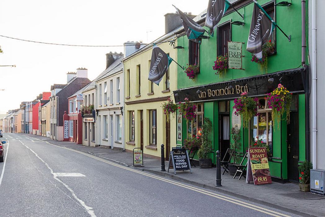


Map and nearest places
| Longitude | Latitude |
|---|---|
| 51.9483333333333 | -10.223888888888899 |
| 51°56'0"N | 10°13'0"W |
| Nearest places | ||
|---|---|---|
| Portmagee | 12.0km | |
| Dingle | 20.8km | |
| Sneem | 25.4km | |
| Castletownbere | 39.2km | |
| Kenmare | 44.6km | |
| Tralee | 50.3km | |
| Kerry Airport | 54.0km | |
| Cork Airport | 119.5km | |
| Shannon Airport | 121.7km | |
| Inishmore Aerodrome | 134.5km | |
| Connemara Airport | 151.4km | |
| Galway Airport | 173.5km | |
| John Paul II International Airport | 2,094.5km | |
| Stewart Island Airport | 19,440.8km | |
Accomodation
Weblinks
Comments
You need to log in to add comment