


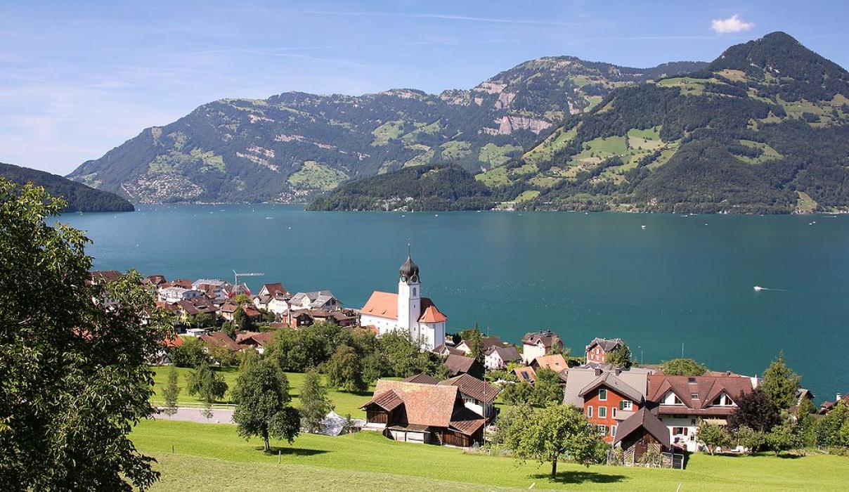
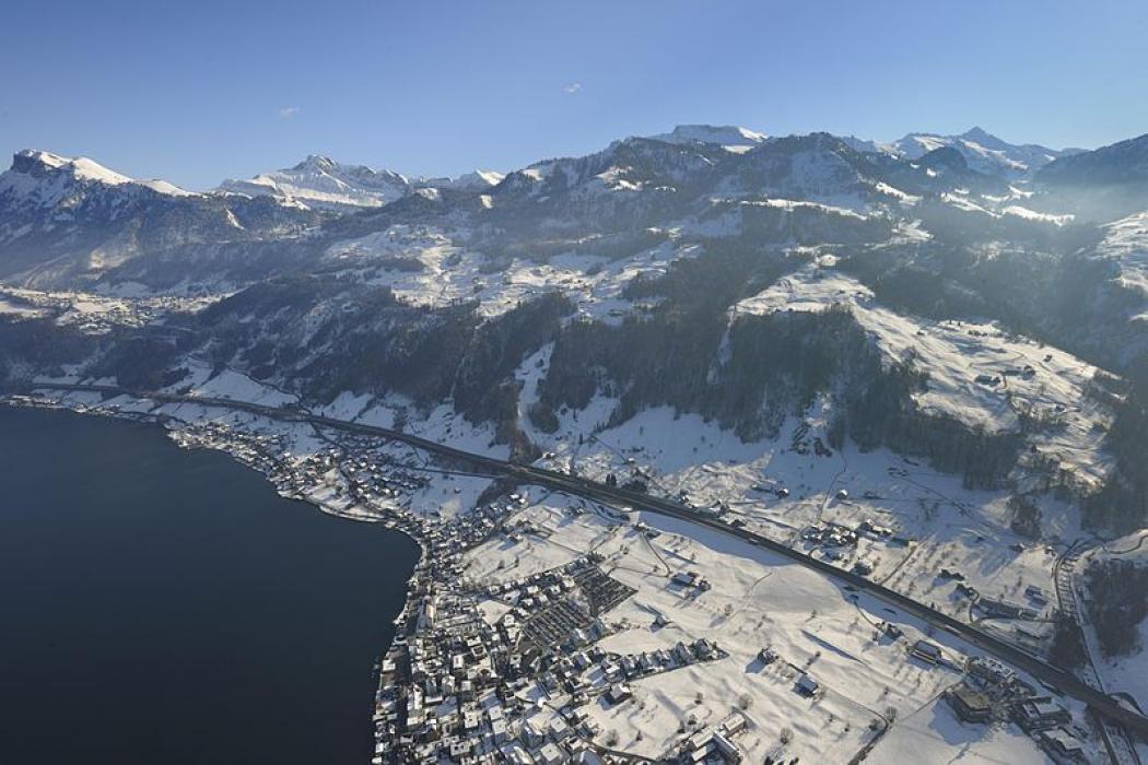


Map and nearest places
| Longitude | Latitude |
|---|---|
| 46.9666666666667 | 8.46666666666667 |
| 46°58'0"N | 8°28'0"E |
| Nearest places | ||
|---|---|---|
 | Dallenwil | 7.3km |
 | Weggis | 7.8km |
 | Seelisberg | 9.0km |
 | Stans | 9.0km |
 | Ihsenthal | 9.7km |
 | Stansstad | 9.8km |
| Luzern Airport | 31.8km | |
| Buttwil Airport | 35.4km | |
| Ambri Piotta Airport | 53.3km | |
| Zurich Airport | 55.7km | |
| Birrfeld Airfield | 55.9km | |
| Ecuvillens Airport | 64.6km | |
| John Paul II International Airport | 901.3km | |
| Tuuta Airport | 19,494.6km | |
Accomodation
Restaurants
Weblinks
Comments
You need to log in to add comment