


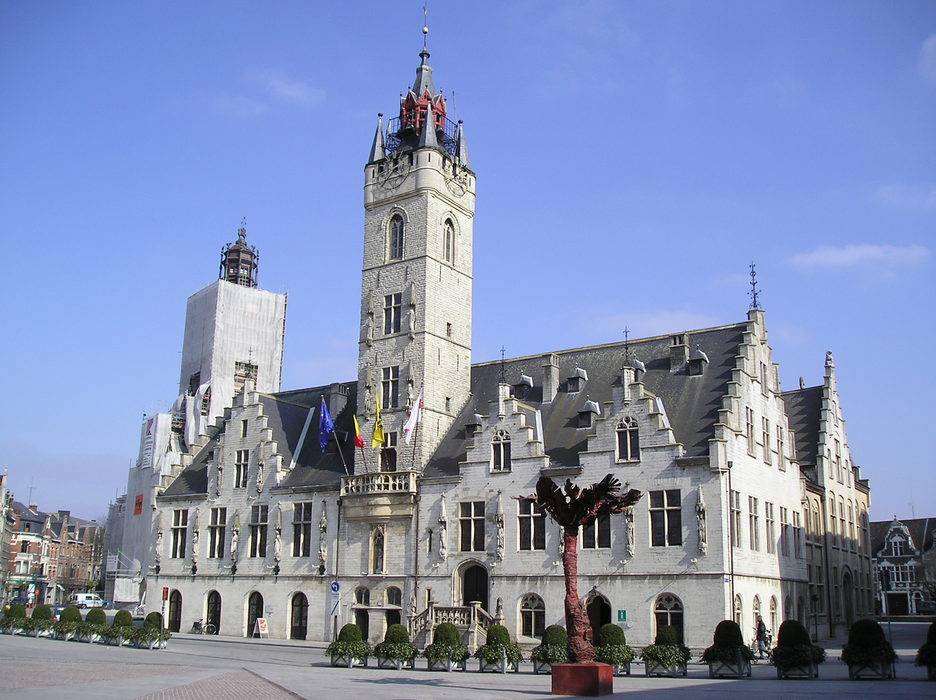
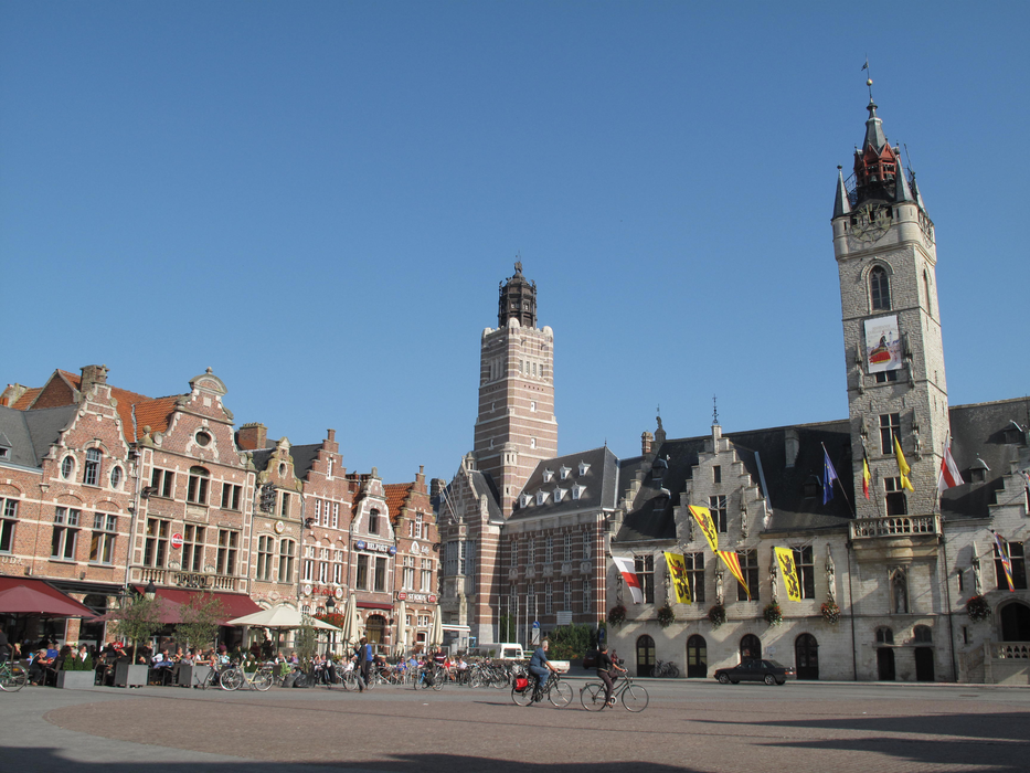
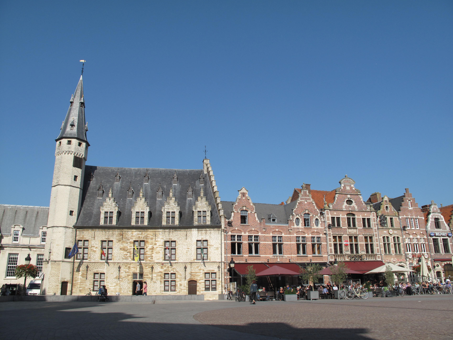
Gallery


Map and nearest places
| Longitude | Latitude |
|---|---|
| 51.016666666666694 | 4.0833333333333295 |
| 51°1'0"N | 4°4'0"E |
| Nearest places | ||
|---|---|---|
 | Aalst | 9.9km |
 | Lokeren | 11.6km |
 | Sint-Niklaas | 15.2km |
 | Lochristi | 19.8km |
 | Melle | 19.9km |
 | Destelbergen | 21.3km |
| Brussels International Airport | 30.7km | |
| Antwerp International Airport | 32.6km | |
| Flanders International Airport | 65.5km | |
| Brussels South Charleroi Airport | 67.3km | |
| Hilversum Airport | 76.8km | |
| Lille Lesquin International Airport | 86.3km | |
| John Paul II International Airport | 1,112.2km | |
| Tuuta Airport | 19,212.7km | |
Accomodation

Weblinks
Comments
You need to log in to add comment