


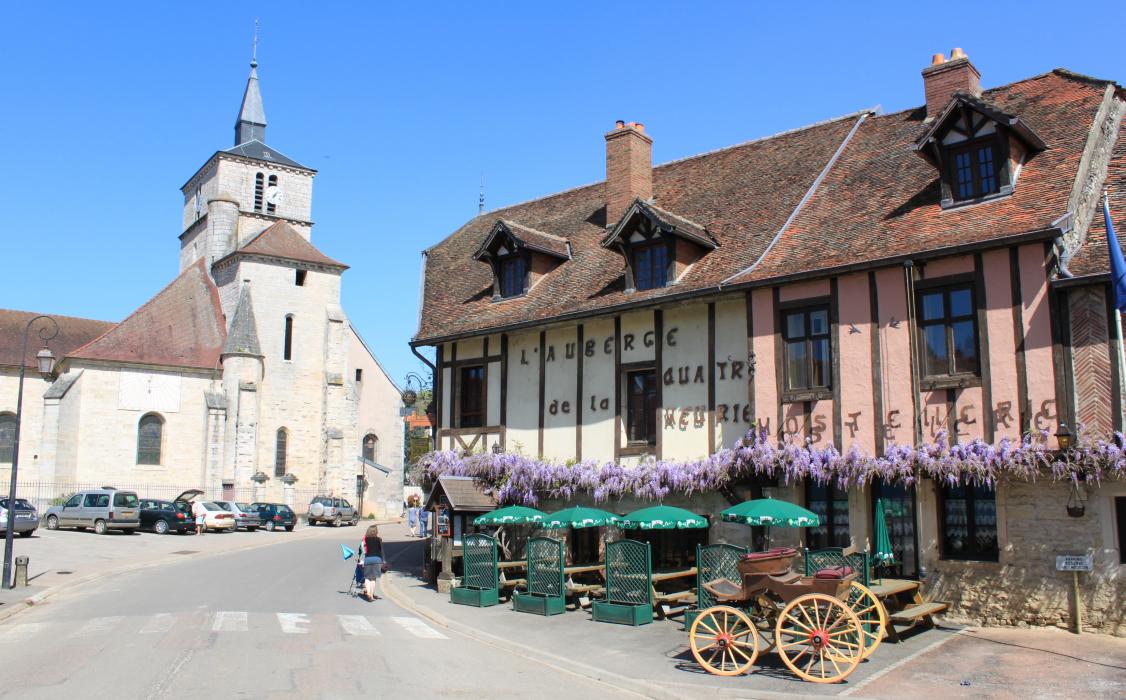


Map and nearest places
| Longitude | Latitude |
|---|---|
| 47.4666666666667 | 5.26666666666667 |
| 47°28'0"N | 5°16'0"E |
| Nearest places | ||
|---|---|---|
 | Gray | 24.6km |
| Dijon Airport | 25.8km | |
 | Dijon | 25.8km |
 | Marsannay-la-Cote | 30.1km |
 | Langres | 43.3km |
 | Dole | 44.8km |
| Dole-Tavaux Airport | 48.8km | |
 | Flavigny-sur-Ozerain | 55.4km |
| Besançon La Veze Airport | 67.9km | |
| Chaumont - Semoutiers Airport | 71.4km | |
| Damblain Airport | 75.0km | |
| Chalon - Champforgeuil Airport | 78.7km | |
| John Paul II International Airport | 1,100.8km | |
| Tuuta Airport | 19,587.0km | |
Weblinks
Comments
You need to log in to add comment