


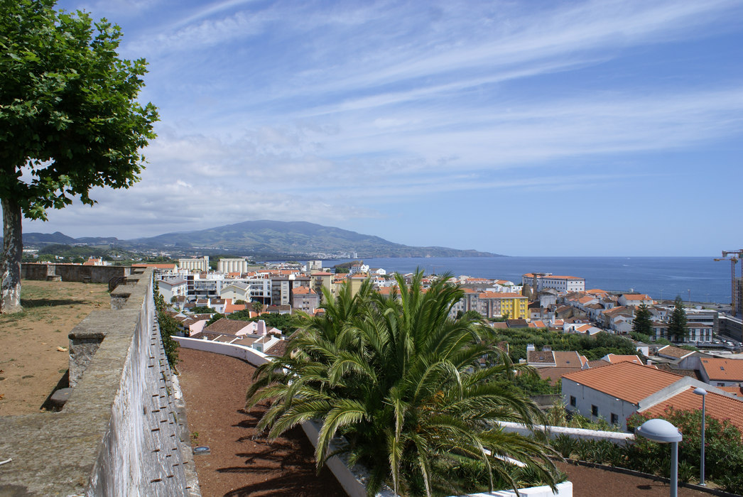
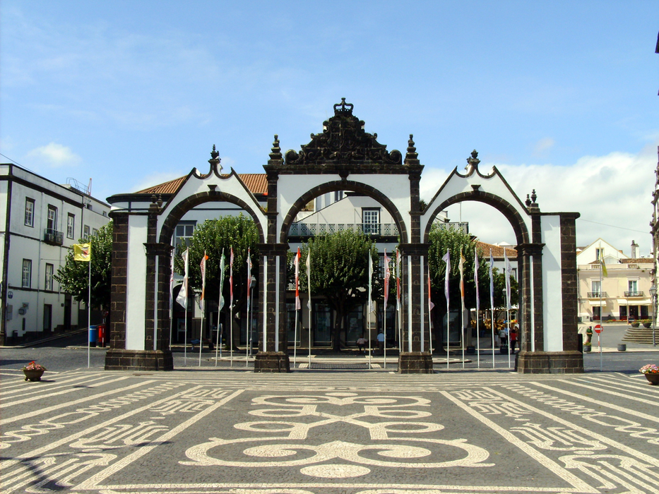
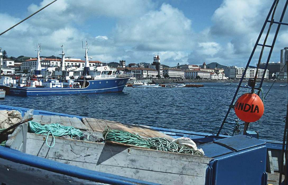
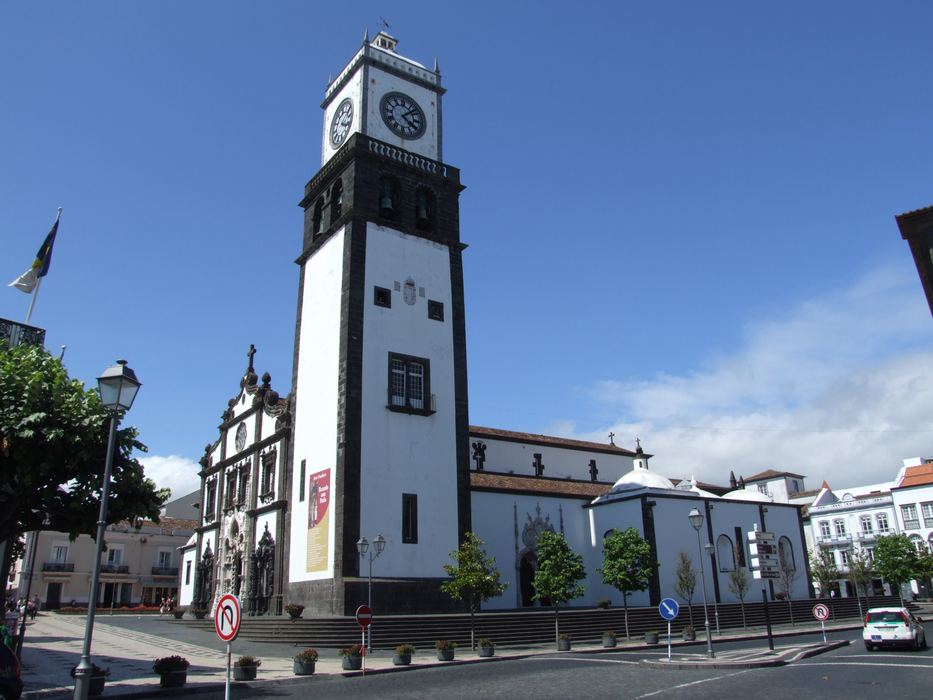
Gallery


Map and nearest places
| Longitude | Latitude |
|---|---|
| 37.740555555555595 | -25.672777777777803 |
| 37°44'0"N | 25°40'0"W |
| Nearest places | ||
|---|---|---|
| Joao Paulo II Airport | 2.2km | |
| Santa Maria Airport | 96.4km | |
 | Vila do Porto - Santa Maria Island | 99.4km |
 | Praia da Vit�ria - Tereceira Island | 164.3km |
| Terceira Airport | 168.0km | |
| Lajes - Terceira Island | 169.0km | |
| Sao Jorge Airport | 241.7km | |
 | Velas - Sao Jorge Island | 245.1km |
 | Santa Cruza da Graciosa | 251.0km |
| Graciosa Airport | 254.6km | |
| Pico airport | 258.4km | |
 | Madalena - Pico Island | 264.8km |
| John Paul II International Airport | 3,822.0km | |
| Merimbula Airport | 19,613.0km | |
Accomodation

Airports

Weblinks
Comments
You need to log in to add comment