


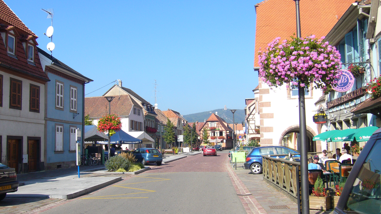
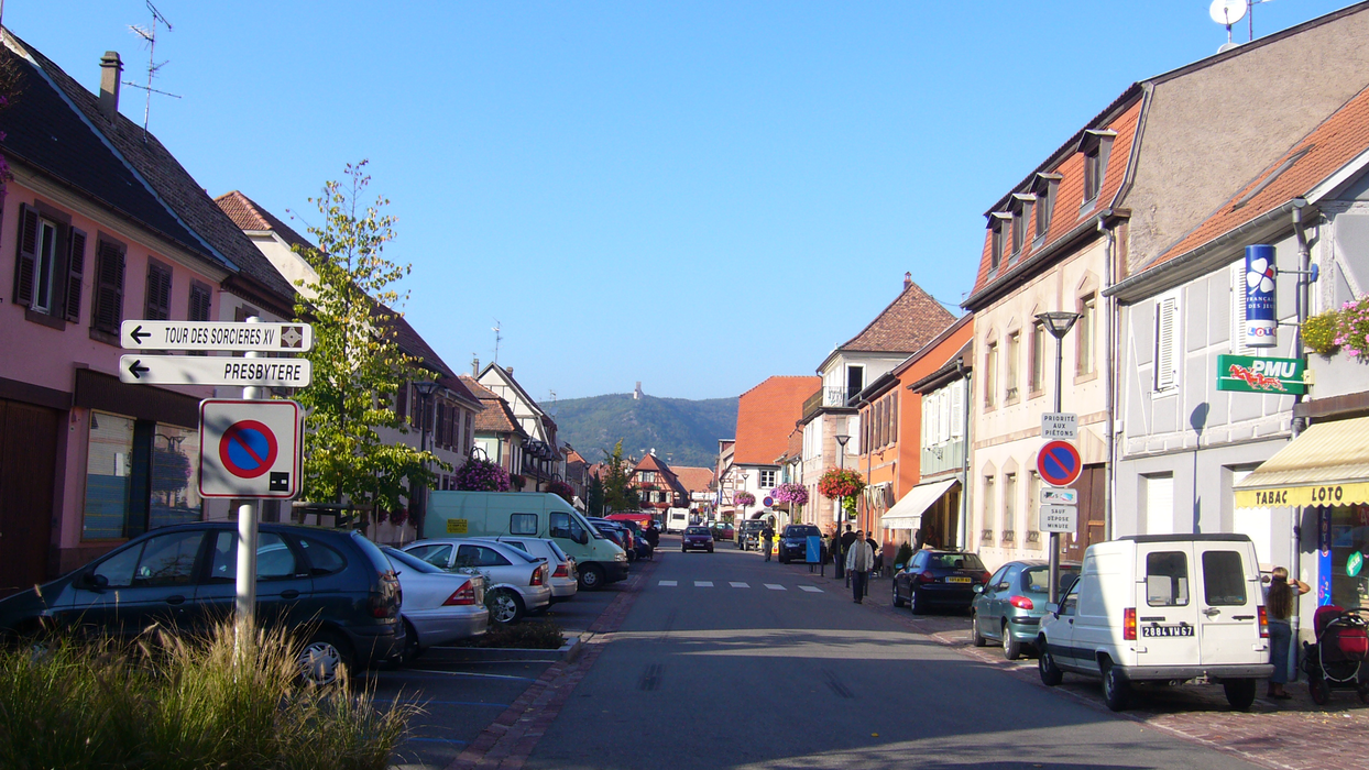
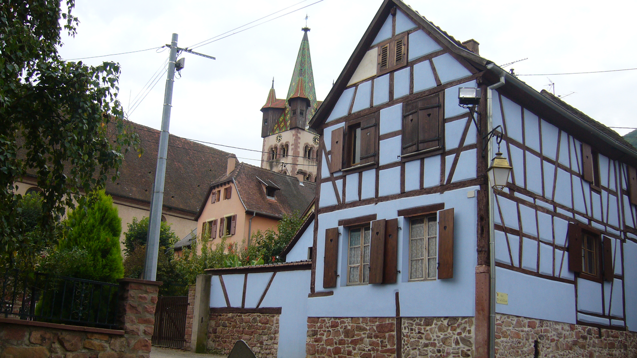
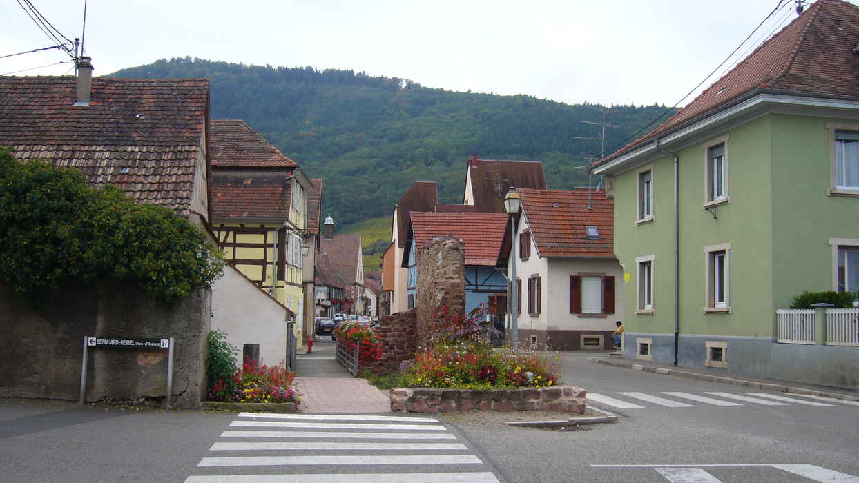
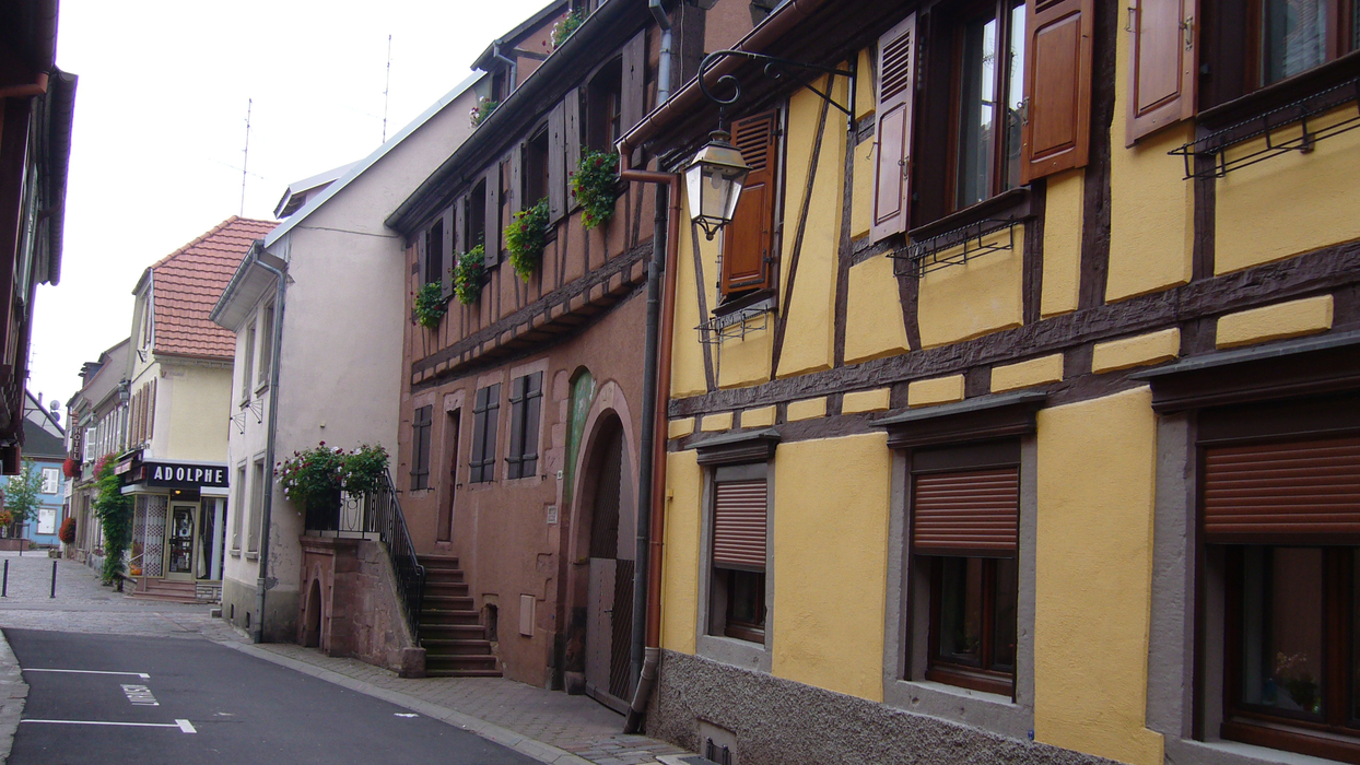
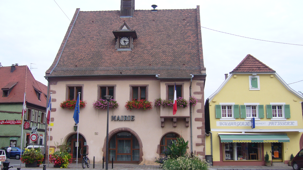
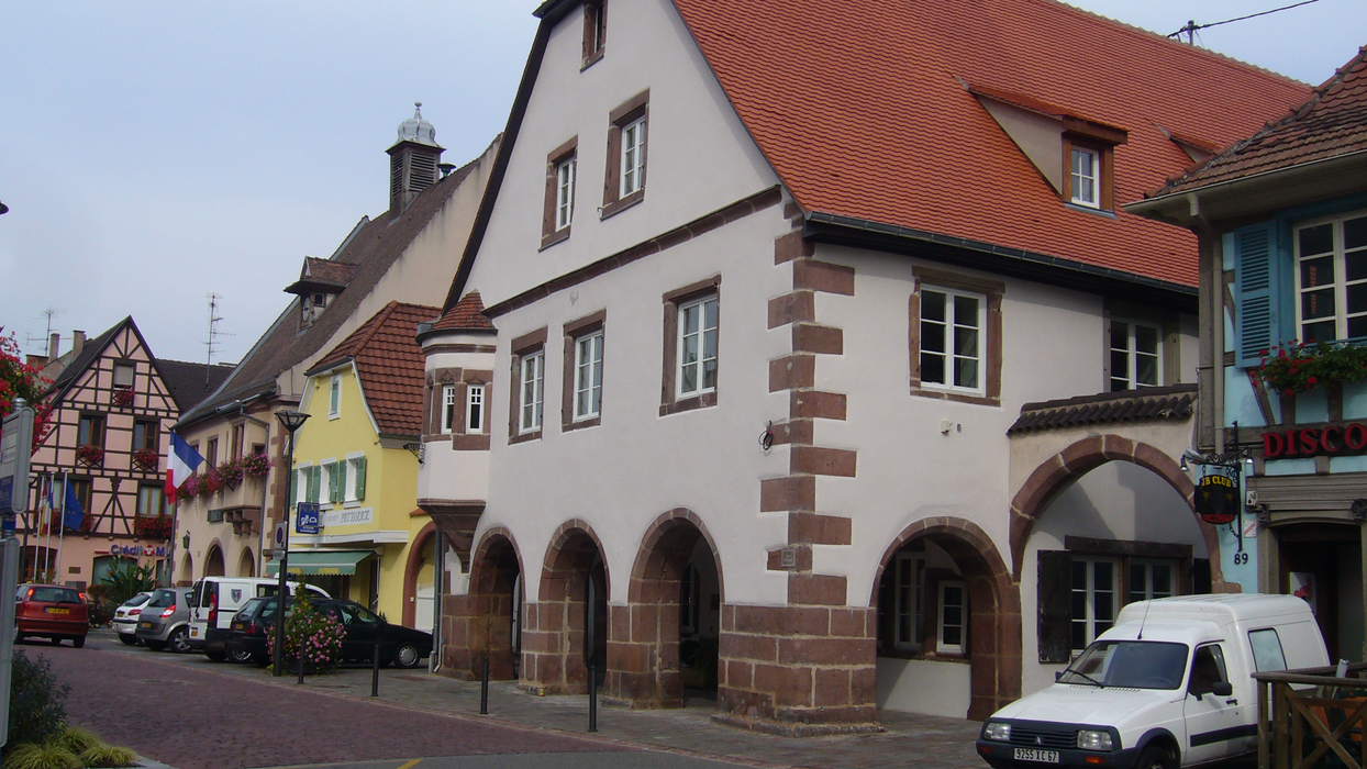
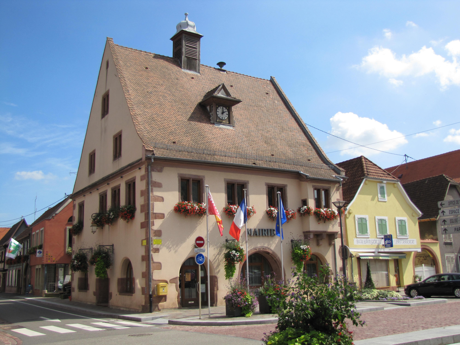
Gallery


Map and nearest places
| Longitude | Latitude |
|---|---|
| 48.2725 | 7.40138888888889 |
| 48°16'0"N | 7°24'0"E |
| Nearest places | ||
|---|---|---|
 | Kintzheim | 2.0km |
 | Selestat | 4.2km |
 | Dambach-la-Ville | 6.1km |
 | Bergheim | 8.0km |
 | Illhaeusern | 10.1km |
 | Ribeauvillé | 10.5km |
| Colmar Airport | 18.3km | |
| Lahr - Black Forest Airport | 33.3km | |
| Strasbourg Airport | 34.8km | |
| Offenburg Airport | 43.4km | |
| Epinal - Mirecourt Airport | 54.7km | |
| Belfort Airport | 74.5km | |
| John Paul II International Airport | 921.1km | |
| Tuuta Airport | 19,436.5km | |
Weblinks
Comments
You need to log in to add comment