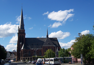
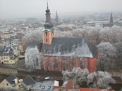
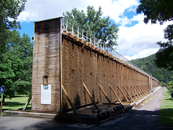
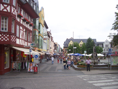
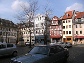
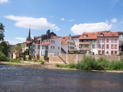
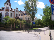
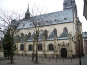
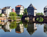
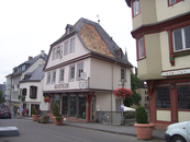
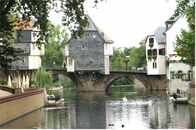
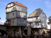
Gallery
Map and nearest places
| Longitude | Latitude |
|---|---|
| 49.85 | 7.86666666666667 |
| 49°51'0"N | 7°52'0"E |
| Nearest places | ||
|---|---|---|
 | Bad Münster am Stein-Ebernburg | 3.9km |
 | Stromberg | 12.5km |
 | Bingen am Rhein | 13.2km |
 | Rüdesheim am Rhein | 15.5km |
 | Ingelheim | 19.4km |
 | Alzey | 21.1km |
| Frankfurt-Hahn Airport | 44.5km | |
| Frankfurt Airport | 54.4km | |
| Egelsbach Airport | 56.8km | |
| Mannheim City Airport | 62.7km | |
| Zweibrucken Airport | 78.8km | |
| Saarbrucken Airport | 89.2km | |
| John Paul II International Airport | 852.0km | |
| Tuuta Airport | 19,267.6km | |
Accomodation
Restaurants
Weblinks
Comments
You need to log in to add comment


