


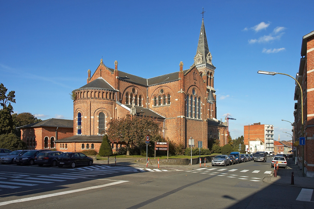
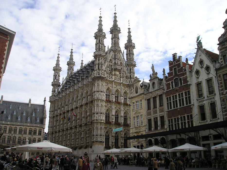
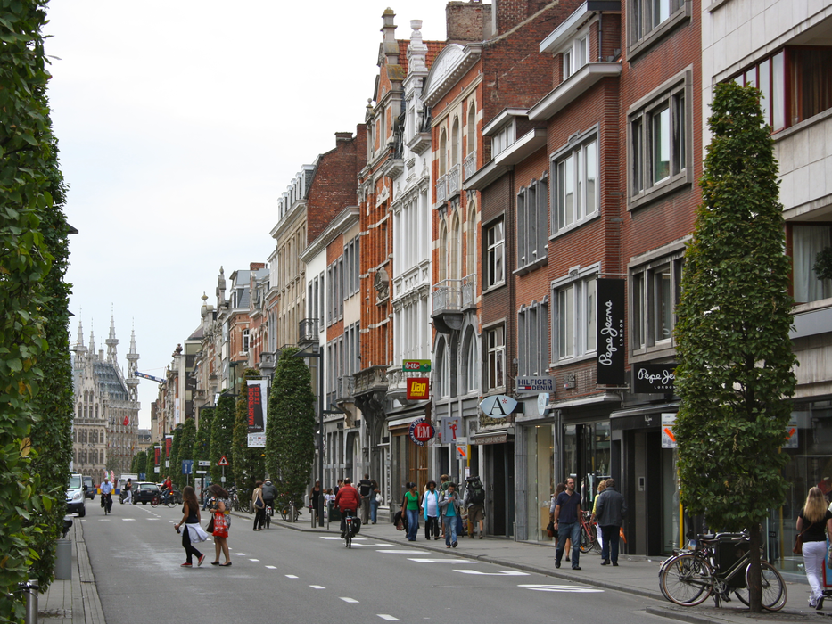
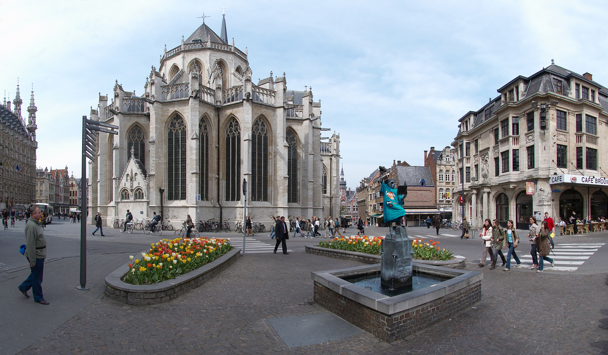
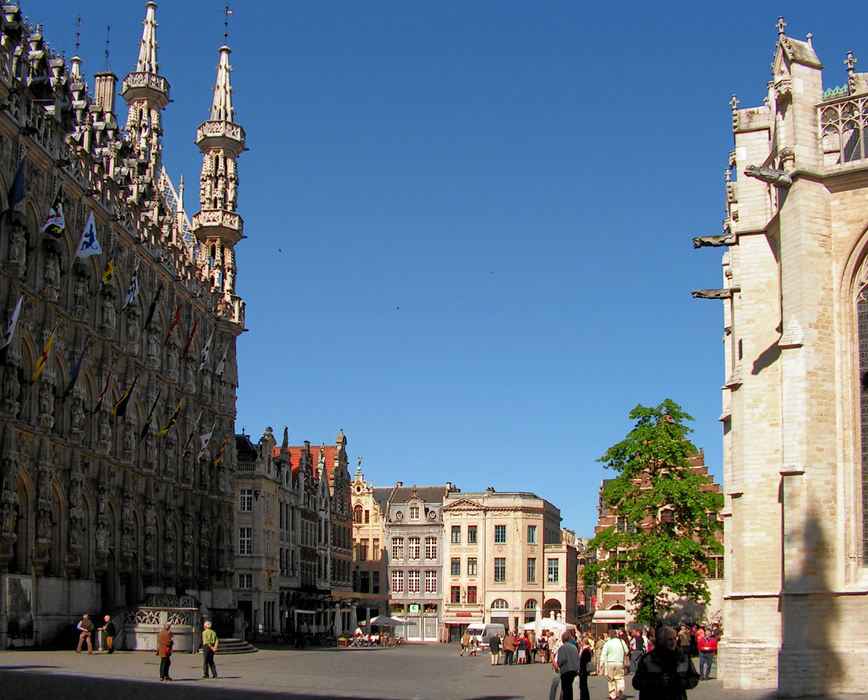
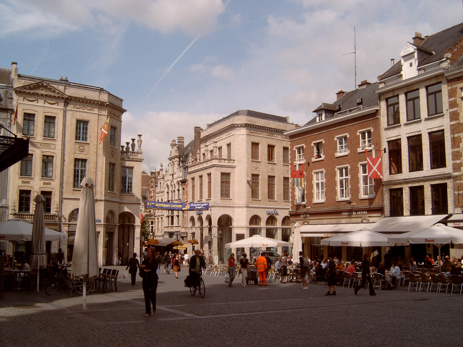
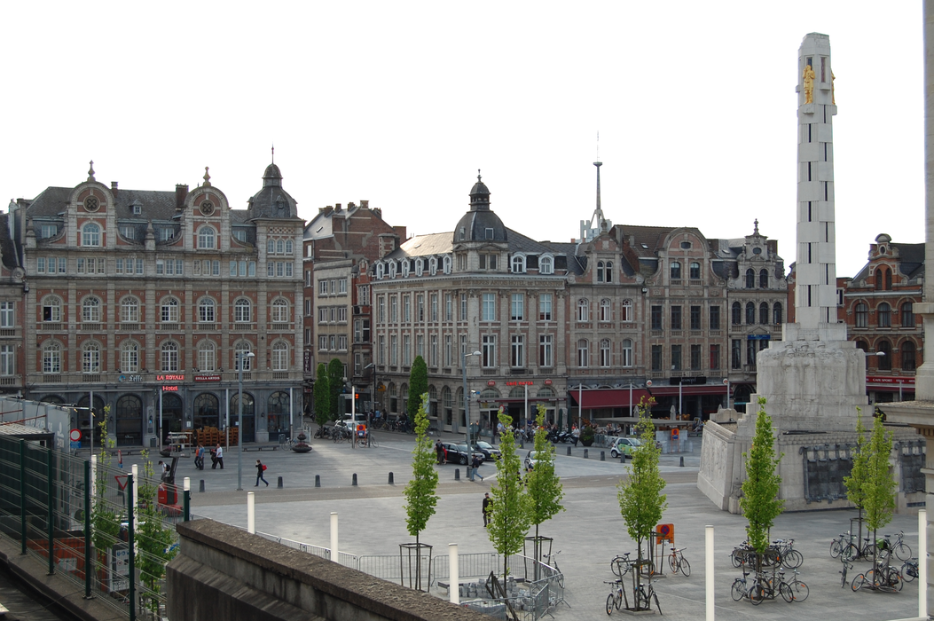
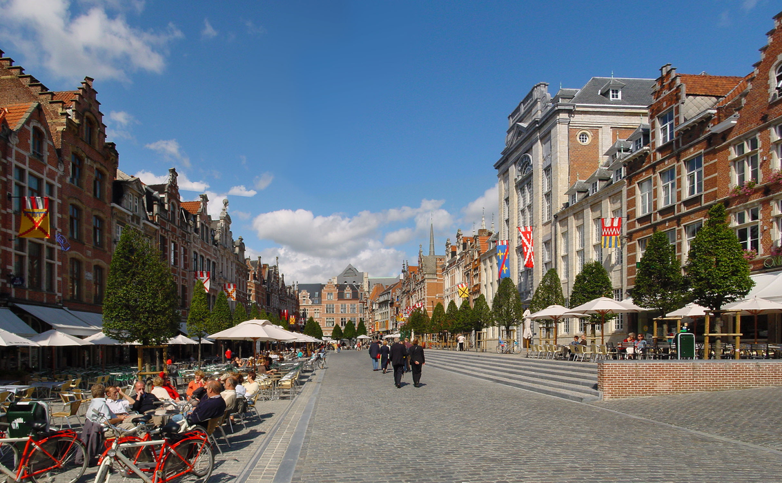
Gallery


Map and nearest places
| Longitude | Latitude |
|---|---|
| 50.883333333333304 | 4.7 |
| 50°52'0"N | 4°42'0"E |
| Nearest places | ||
|---|---|---|
 | Heverlee | 2.7km |
| Tielt-Winge | 14.5km | |
 | Boortmeerbeek | 14.5km |
| Brussels International Airport | 15.3km | |
| Rijmenam | 15.4km | |
 | Tervuren | 15.9km |
 | Hoegaarden | 17.9km |
| Antwerp International Airport | 37.9km | |
| Hilversum Airport | 46.4km | |
| Brussels South Charleroi Airport | 50.3km | |
| Liege Airport | 59.0km | |
| Kempen Airport | 75.4km | |
| John Paul II International Airport | 1,069.2km | |
| Tuuta Airport | 19,223.8km | |
Accomodation
Restaurants
Museums
Weblinks
Comments
You need to log in to add comment