


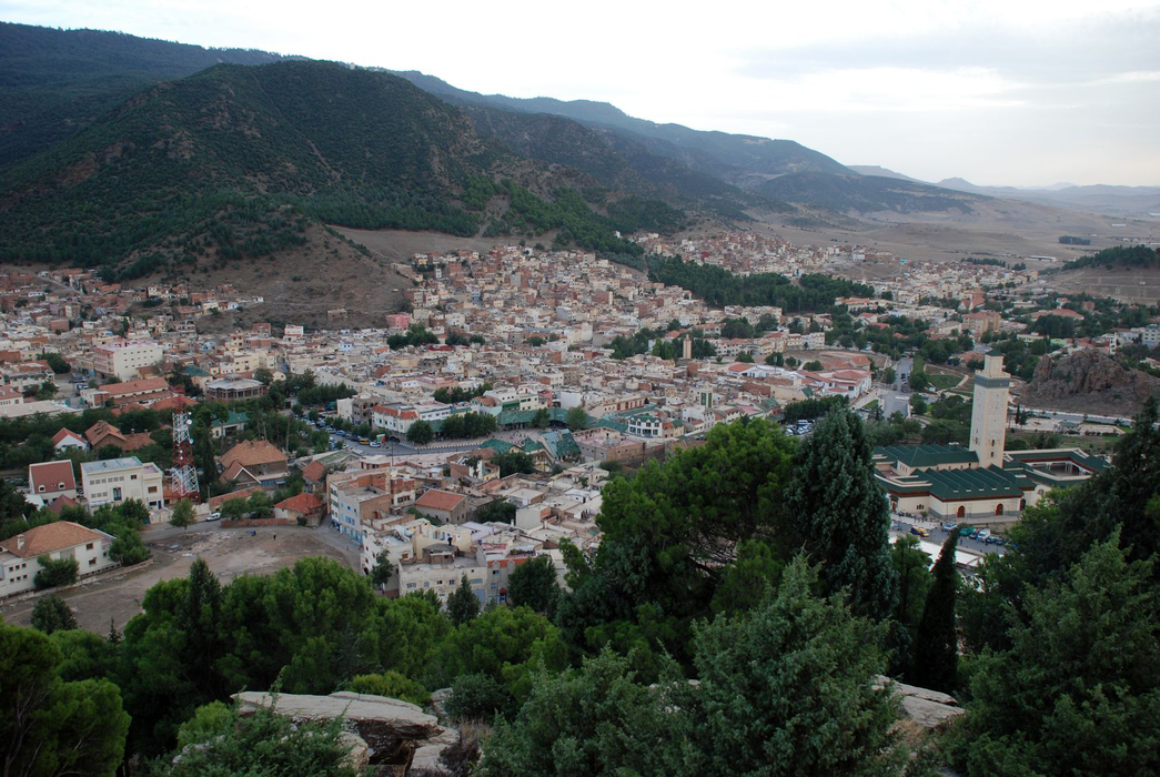


Map and nearest places
| Longitude | Latitude |
|---|---|
| 33.4416666666667 | -5.22472222222222 |
| 33°26'0"N | 5°13'0"W |
| Nearest places | ||
|---|---|---|
| Ifrane Airport | 9.7km | |
| Ifrane | 14.3km | |
 | El Hajeb | 31.0km |
| Bassatine Airport | 55.5km | |
| Mekenes | 57.6km | |
| Saiss Airport | 58.6km | |
| Fes | 69.0km | |
| Moulay Idriss | 73.6km | |
 | Kenitra | 154.3km |
| Beni Mallal Airport | 155.3km | |
| Rabat-Sale Airport | 156.2km | |
| Kenitra Airport | 158.5km | |
| John Paul II International Airport | 2,755.3km | |
| Kerikeri Airport | 19,797.6km | |
Weblinks
Comments
You need to log in to add comment