


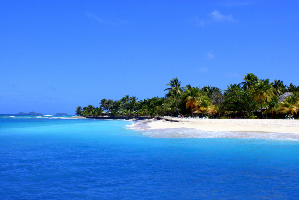
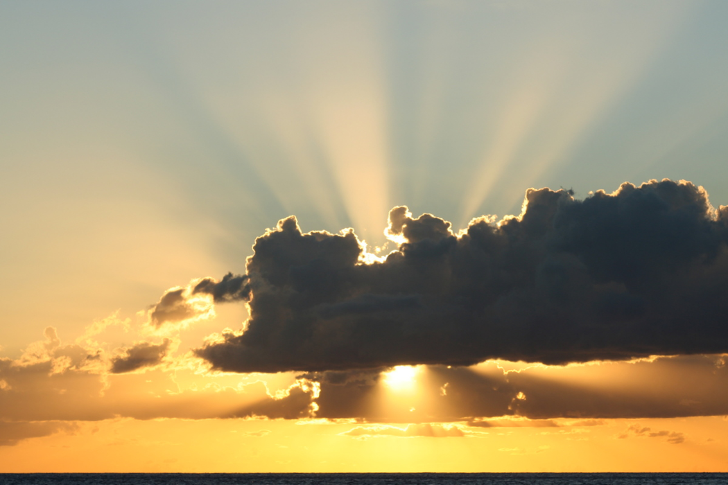
Gallery


Map and nearest places
| Longitude | Latitude |
|---|---|
| 12.585853 | -61.396537 |
| 12°35'0"N | 61°23'0"W |
| Nearest places | ||
|---|---|---|
| Union Island International Airport | 2.3km | |
| Union Island | 4.3km | |
| Petit Saint Vincent Island | 6.0km | |
| Myreau Island | 6.1km | |
| Hillsborough - Carriacou Island | 13.7km | |
| Canouan Airport | 13.9km | |
| Lauriston Airport | 14.6km | |
| Canouan Island | 16.1km | |
| Mustique Airport | 41.0km | |
| Mustique Island | 45.0km | |
| J.F.Mitchell Airport | 47.1km | |
| Pearls Airport | 54.7km | |
| John Paul II International Airport | 8,311.1km | |
| Bima Airport | 19,565.1km | |
Accomodation
Weblinks
Comments
You need to log in to add comment