


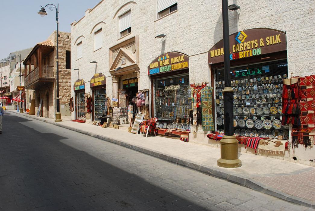
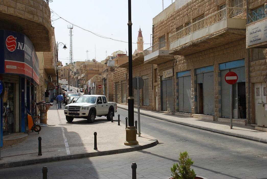
Gallery


Map and nearest places
| Longitude | Latitude |
|---|---|
| 31.716667 | 35.8 |
| 31°43'0"N | 35°47'0"E |
| Nearest places | ||
|---|---|---|
| Queen Alia International Airport | 18.3km | |
| Amman | 28.8km | |
| Marka International Airport | 33.7km | |
| Jerusalem | 55.7km | |
| Atarot Airport | 57.3km | |
| Karak | 60.1km | |
| Jerash | 63.1km | |
| Ajlun | 70.7km | |
| Ben Gurion International Airport | 92.3km | |
| Herzylia | 102.4km | |
| Sde Dov Airport | 105.8km | |
| Herzylia Airport | 109.3km | |
| John Paul II International Airport | 2,434.0km | |
| Raivavae Airport | 19,080.0km | |
Accomodation
Weblinks
Comments
You need to log in to add comment