


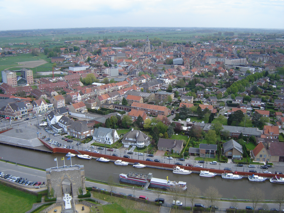
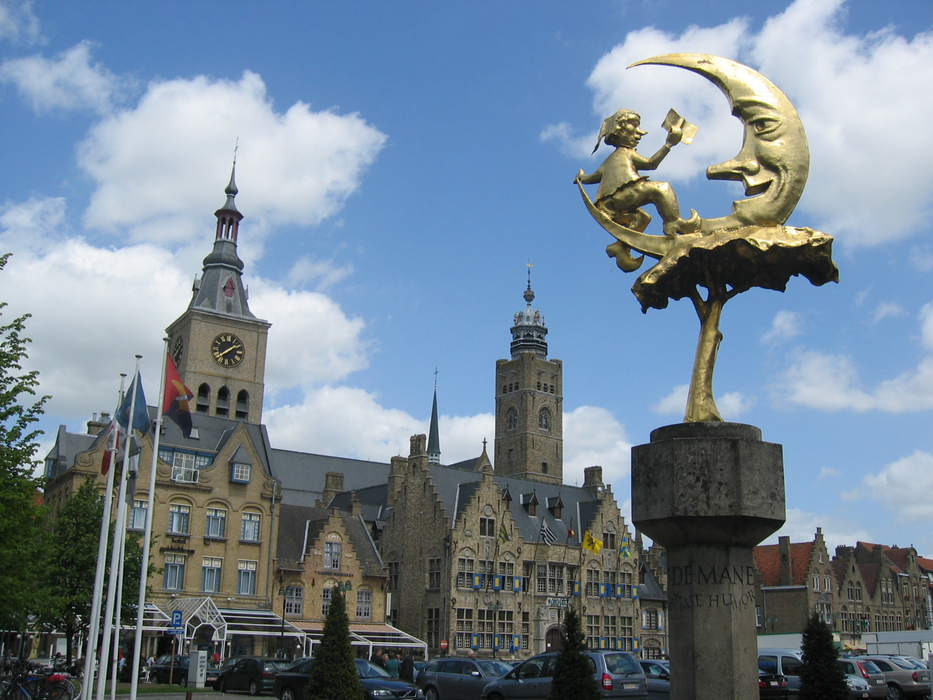


Map and nearest places
| Longitude | Latitude |
|---|---|
| 51.0333333333333 | 2.8666666666666702 |
| 51°1'0"N | 2°52'0"E |
| Nearest places | ||
|---|---|---|
 | Nieuwpoort | 12.3km |
 | Veurne | 14.5km |
 | Gistel | 14.7km |
| Oostduinkerke | 16.8km | |
 | Koksijde | 16.9km |
 | Middelkerke | 17.0km |
| Ostend-Bruges International Airport | 18.5km | |
| Flanders International Airport | 33.7km | |
| Merville Airport | 49.0km | |
| Lille Lesquin International Airport | 54.7km | |
| Calais-Dunkerque Airport | 64.6km | |
| Aéroport de Arras - Roclincourt | 78.9km | |
| John Paul II International Airport | 1,197.2km | |
| Tuuta Airport | 19,210.3km | |
Accomodation
Weblinks
Comments
You need to log in to add comment