


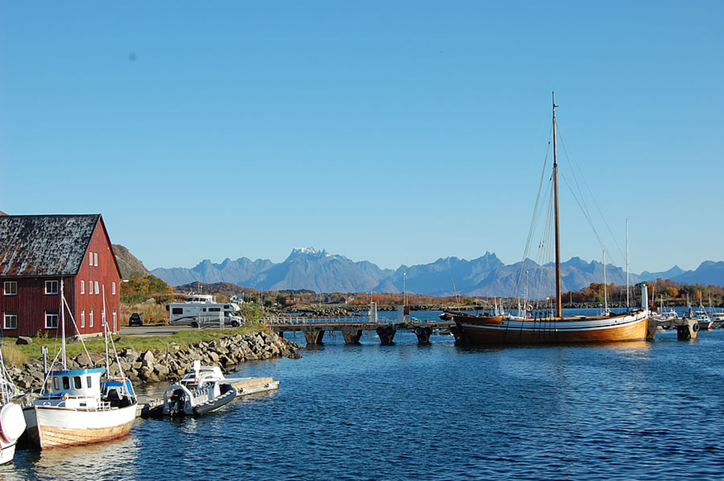
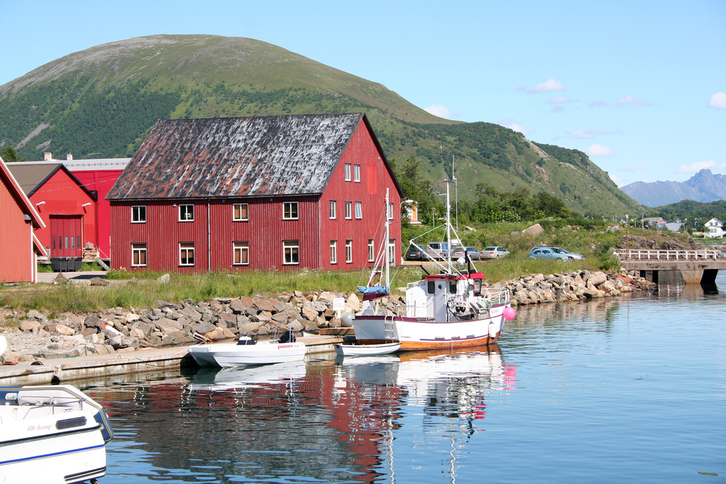
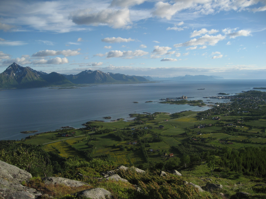


Map and nearest places
| Longitude | Latitude |
|---|---|
| 68.5 | 14.833333333333298 |
| 68°30'0"N | 14°49'0"E |
| Nearest places | ||
|---|---|---|
| Stokmarknes | 8.2km | |
| Stokmarknes Airport | 11.9km | |
| Sortland | 29.3km | |
| Svolvar Airport | 29.3km | |
 | Svolvaer - Lofoten Islands | 31.6km |
| Kabelvag - Lofoten Islands | 35.2km | |
| Henningsvćr - Lofoten Islands | 46.2km | |
| Myre - Langoya Island | 47.3km | |
| Leknes Airport | 63.4km | |
| Harstad/Narvik Airport, | 75.2km | |
| Andoya Airport, | 102.6km | |
| Narvik Airport | 104.4km | |
| John Paul II International Airport | 2,066.1km | |
| Tuuta Airport | 17,192.6km | |
Weblinks
Comments
You need to log in to add comment