


Gallery


Map and nearest places
| Longitude | Latitude |
|---|---|
| 65.2572222222222 | -166.35388888888897 |
| 65°15'0"N | 166°21'0"W |
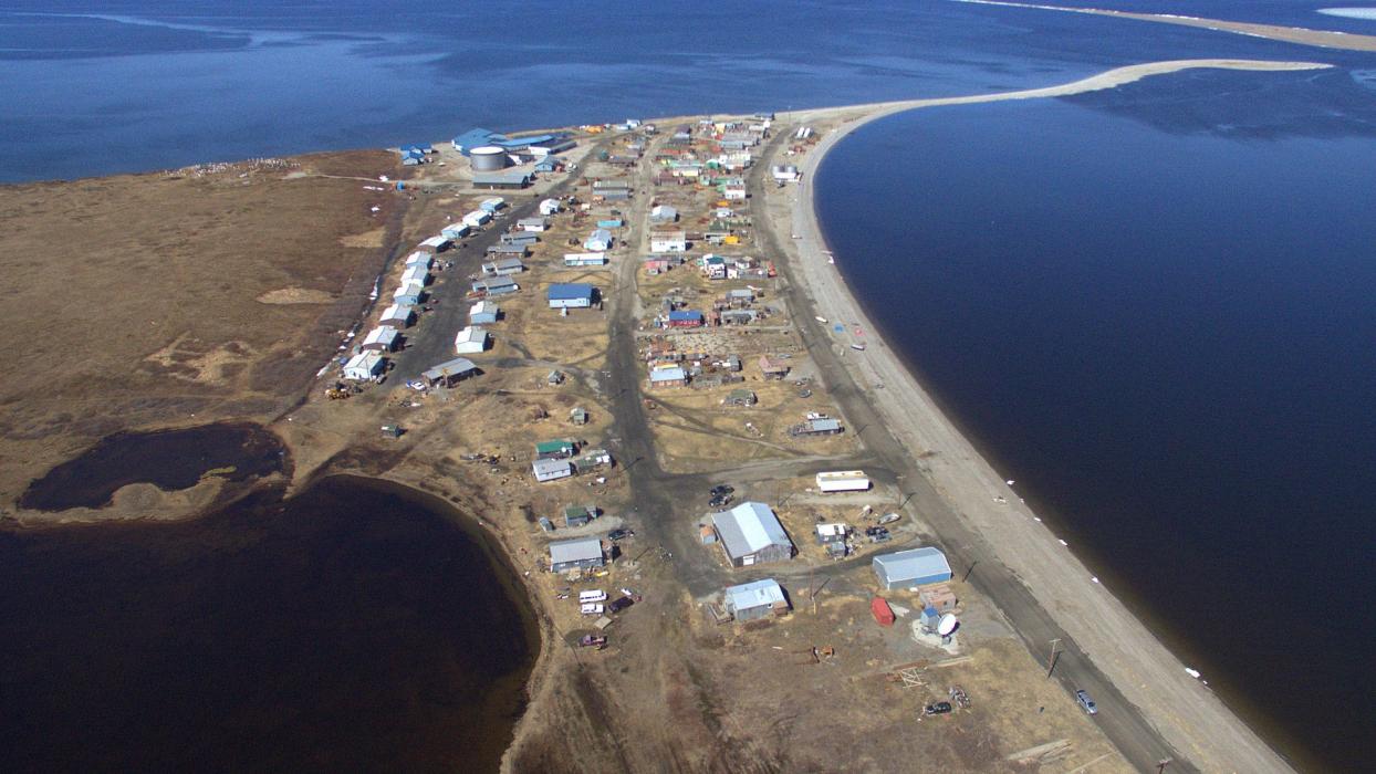
| Nearest places | ||
|---|---|---|
| Teller Airport | 2.0km | |
| Brevig Mission Airport | 9.8km | |
| Brevig Mission | 10.7km | |
| Wales | 89.4km | |
| Wales Airport | 90.1km | |
| Nome Airport | 93.3km | |
| Nome | 95.1km | |
| White Mountain Airport | 152.1km | |
| White Mountain | 152.7km | |
| Golovin | 175.7km | |
| Golovin Airport | 176.3km | |
| Deering | 189.8km | |
| John Paul II International Airport | 7,179.6km | |
| Cape Town International Airport | 16,519.9km | |
Airports
Weblinks
Comments
You need to log in to add comment