


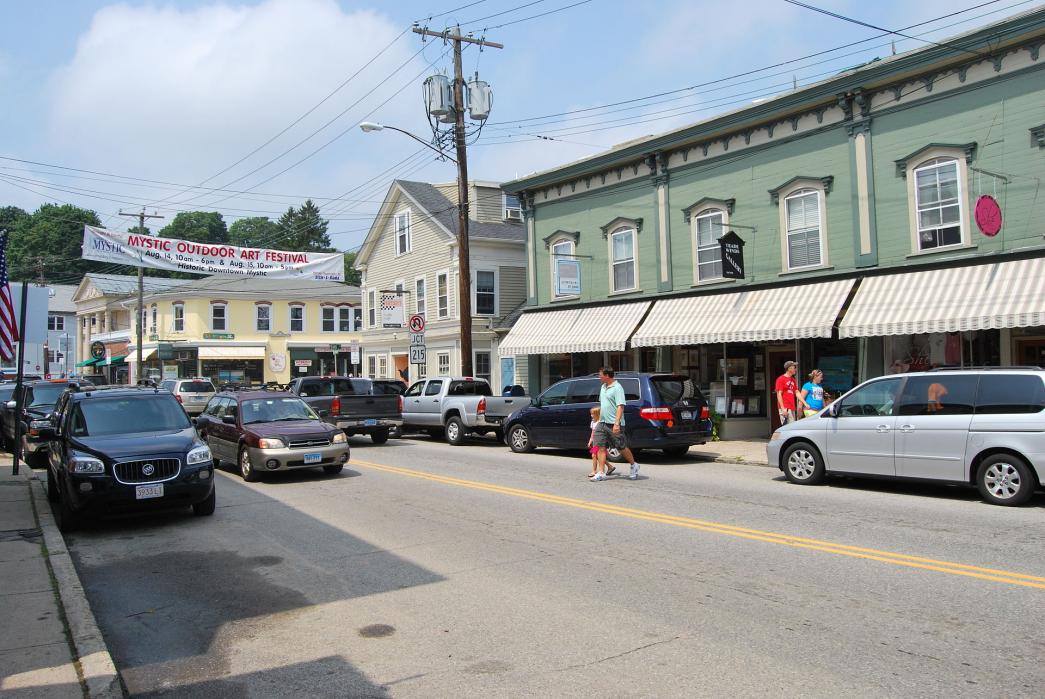
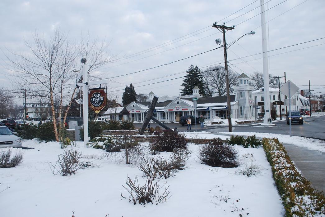
Gallery


Map and nearest places
| Longitude | Latitude |
|---|---|
| 41.354167 | -71.966389 |
| 41°21'0"N | 71°57'0"W |
| Nearest places | ||
|---|---|---|
 | Stonington | 5.1km |
| Groton-New London Airport | 7.1km | |
 | Groton-New London | 9.3km |
| Westerly | 11.9km | |
| Westerly State Airport | 13.6km | |
| Monatuk Airport | 31.1km | |
| Monatuk | 35.1km | |
| South Kingstown | 38.1km | |
| Block Island State Airport | 38.5km | |
| Colchester | 39.8km | |
| Windham Airport | 46.9km | |
| Quonset State Airport | 53.5km | |
| John Paul II International Airport | 6,730.5km | |
| Busselton Regional Airport | 18,944.9km | |
Accomodation
Restaurants
Museums

Breweries
Weblinks
Comments
You need to log in to add comment