


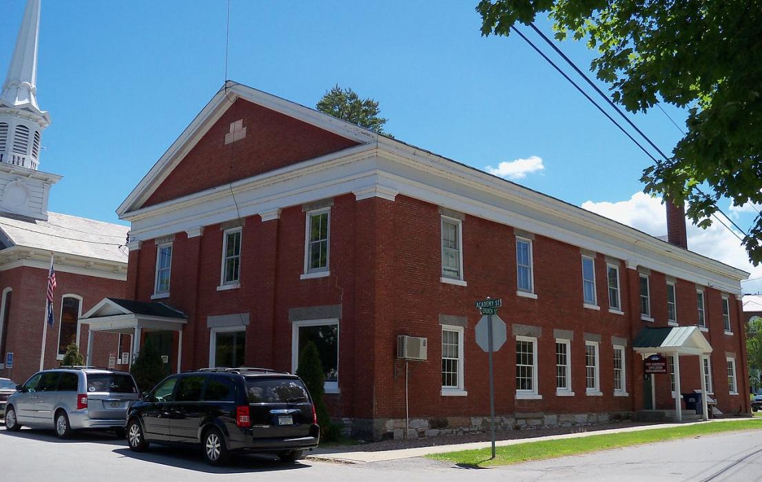
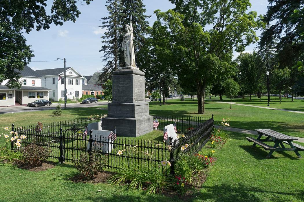
Gallery


Map and nearest places
| Longitude | Latitude |
|---|---|
| 44.909722 | -73.120556 |
| 44°54'0"N | 73°7'0"W |
| Nearest places | ||
|---|---|---|
| Franklin County State Airport | 3.9km | |
| Highgate | 6.9km | |
| St Albans | 11.4km | |
| South Hero | 32.8km | |
| Dunham | 35.4km | |
| Plattsburgh | 35.8km | |
| Jeffersonville | 37.5km | |
| Plattsburgh International Airport | 39.8km | |
| Clinton County Airport | 40.3km | |
| Saint-Jean Airport | 44.6km | |
| Burlington International Airport | 48.6km | |
| Bromont Airport | 51.8km | |
| John Paul II International Airport | 6,535.5km | |
| Busselton Regional Airport | 18,570.4km | |
Golfs club
Weblinks
Comments
You need to log in to add comment