


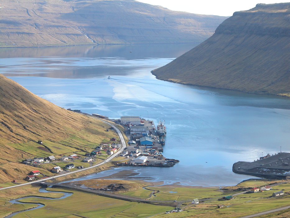
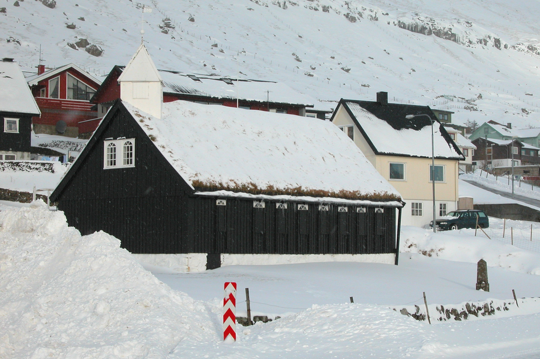
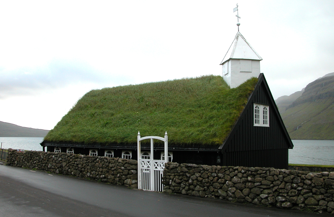
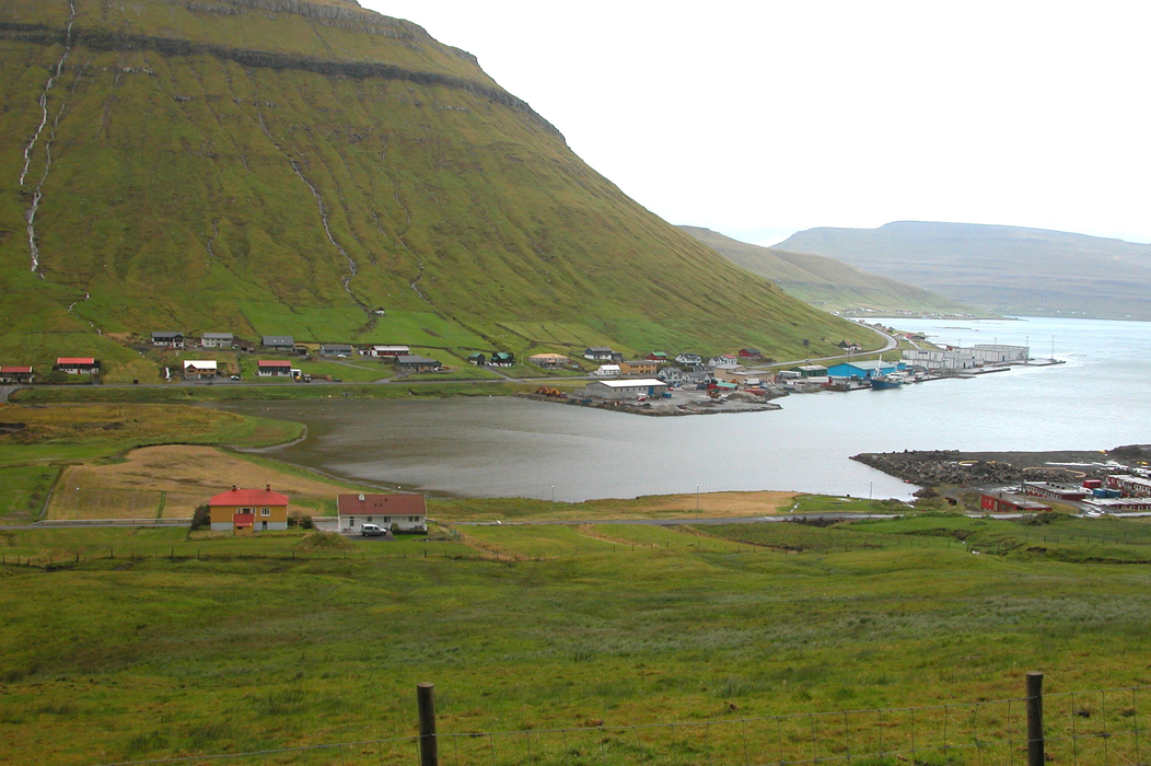


Map and nearest places
| Longitude | Latitude |
|---|---|
| 62.118333333333304 | -6.90555555555556 |
| 62°7'0"N | 6°54'0"W |
| Nearest places | ||
|---|---|---|
| Kaldbak | 7.4km | |
| Kvívík | 8.4km | |
| Runavík | 9.5km | |
| Hvalvík | 10.3km | |
| Nes | 11.5km | |
| Gota | 12.5km | |
| Vagar Airport | 20.3km | |
| Scatsta Airport | 353.4km | |
| Unst Airport | 355.9km | |
| Tingwall Airport | 371.5km | |
| Westray Airport | 375.3km | |
| Papa Westray Airport | 376.7km | |
| John Paul II International Airport | 2,102.8km | |
| Stewart Island Airport | 18,293.7km | |
Weblinks
Comments
You need to log in to add comment