


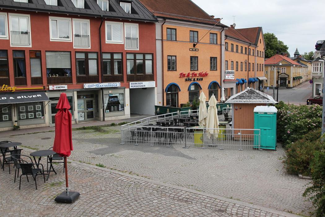
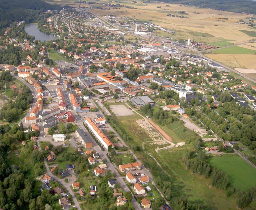
Gallery


Map and nearest places
| Longitude | Latitude |
|---|---|
| 60.276944 | 15.987222 |
| 60°16'0"N | 15°59'0"E |
| Nearest places | ||
|---|---|---|
| Säter | 15.4km | |
| Avesta | 17.7km | |
| Norberg | 21.6km | |
| Dala Airport | 30.6km | |
| Fagersta | 32.2km | |
| Smedjebacken | 35.1km | |
 | Borlange | 37.4km |
| Gavle Sandviken Airport | 63.5km | |
| Stockholm-Vasteras Airport | 84.5km | |
| Uppsala Airport | 98.5km | |
| Esklituna Airport | 110.6km | |
| Mora-Siljan Airport | 110.6km | |
| John Paul II International Airport | 1,159.0km | |
| Tuuta Airport | 18,003.7km | |
Accomodation
Restaurants
Breweries
Weblinks
Comments
You need to log in to add comment