


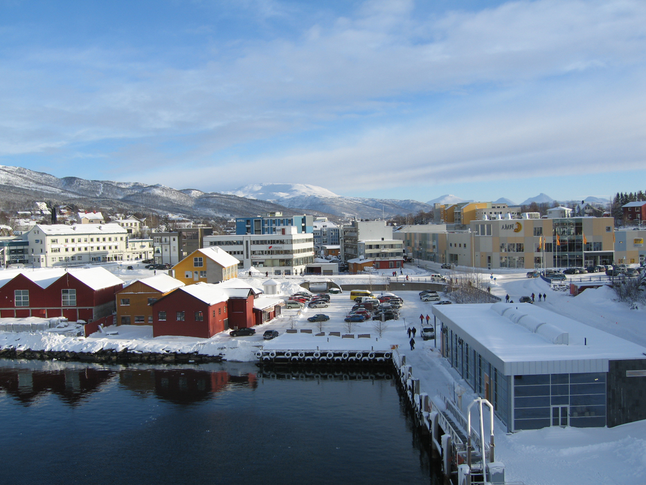
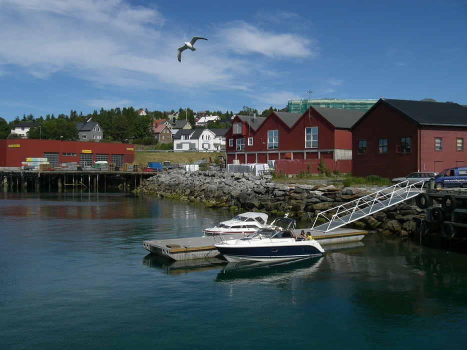
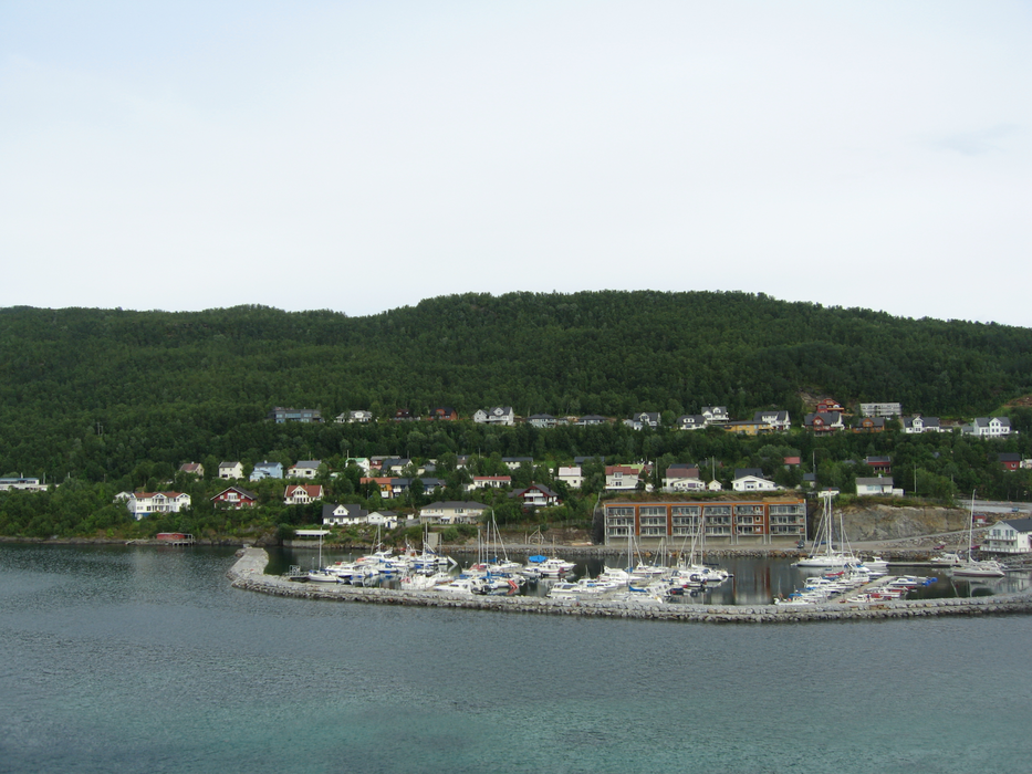


Map and nearest places
| Longitude | Latitude |
|---|---|
| 69.2333333333333 | 17.9833333333333 |
| 69°13'0"N | 17°58'0"E |
| Nearest places | ||
|---|---|---|
| Bardufoss | 28.1km | |
| Bardufoss Airport | 29.6km | |
 | Tromso | 60.8km |
| Tromso Airport | 61.7km | |
| Andoya Airport, | 72.7km | |
| Andenes | 73.9km | |
 | Harstad | 74.8km |
 | Narvik | 91.2km |
| Narvik Airport | 91.8km | |
 | Lyngen | 96.3km |
| Harstad/Narvik Airport, | 97.9km | |
| Sorkjosen Airport | 120.0km | |
| John Paul II International Airport | 2,132.2km | |
| Tuuta Airport | 17,070.5km | |
Accomodation
Weblinks
Comments
You need to log in to add comment