


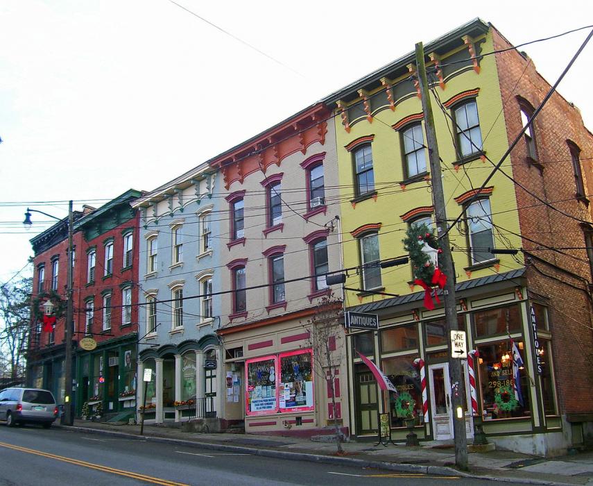
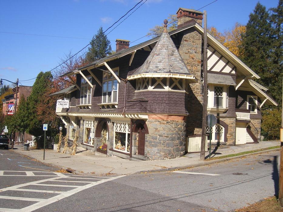
Gallery


Map and nearest places
| Longitude | Latitude |
|---|---|
| 41.599167 | -73.918056 |
| 41°35'0"N | 73°55'0"W |
| Nearest places | ||
|---|---|---|
| Dutchess County Airport | 4.2km | |
| Marlboro | 4.8km | |
| Poughkeepsie | 11.3km | |
| Newburgh | 12.3km | |
| Stewart International Airport | 18.8km | |
| Gardiner | 21.4km | |
| New Paltz | 21.7km | |
| Waterbury-Oxford Airport | 27.1km | |
| Montgomery | 27.8km | |
| Orange County Airport | 30.5km | |
| Danbury Municipal Airport | 44.2km | |
| Wurtsboro-Sullivan County Airport | 44.9km | |
| John Paul II International Airport | 6,831.1km | |
| Busselton Regional Airport | 18,814.3km | |
Restaurants
Breweries
Weblinks
Comments
You need to log in to add comment