


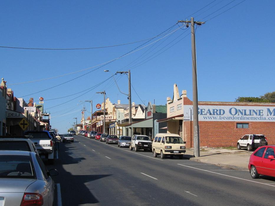
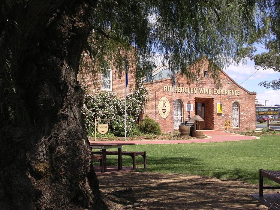
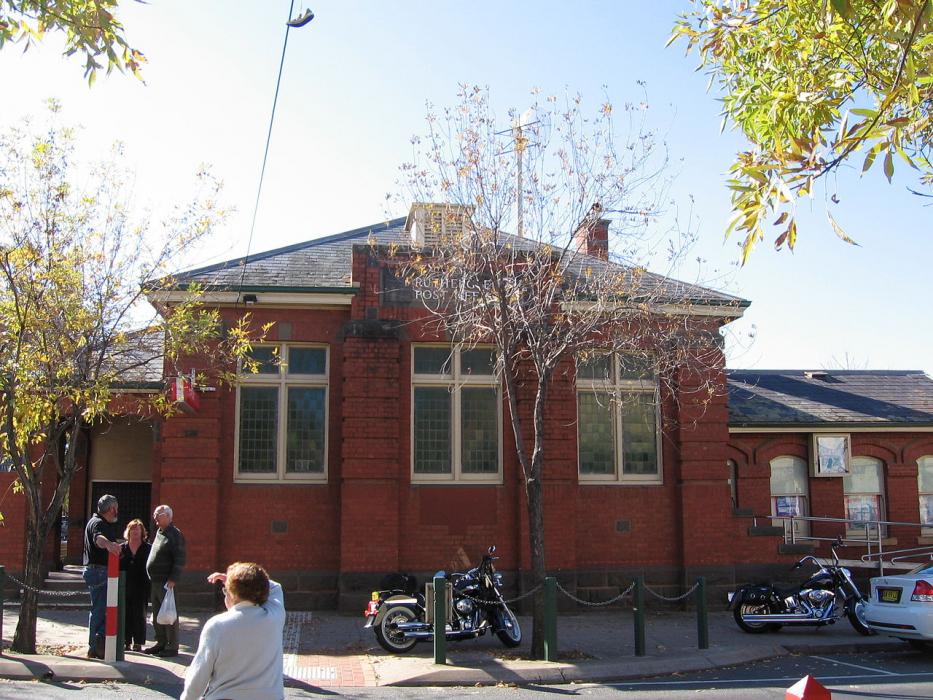


Map and nearest places
| Longitude | Latitude |
|---|---|
| -36.055556 | 146.4625 |
| 36°3'0"S | 146°27'0"E |
| Nearest places | ||
|---|---|---|
| Wahgunyah | 8.0km | |
| Corowa | 10.7km | |
| Wangaratta | 37.0km | |
| Beechworth | 39.3km | |
| Wangaratta Airport | 42.4km | |
| Albury | 43.9km | |
| Albury Airport | 44.6km | |
| Myrtleford | 60.6km | |
| Shepparton Airport | 104.6km | |
| Corryong Airport | 128.8km | |
| Wagga Wagga Airport | 134.3km | |
| Mount Hotham Airport | 135.0km | |
| John Paul II International Airport | 15,520.3km | |
| Flores Airport | 19,581.9km | |
Accomodation
Restaurants
Golfs club
Weblinks
Comments
You need to log in to add comment