


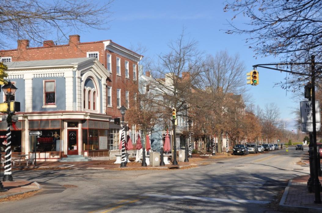
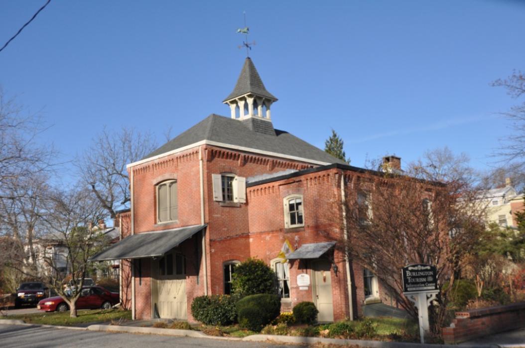
Gallery


Map and nearest places
| Longitude | Latitude |
|---|---|
| 40.078333 | -74.8525 |
| 40°4'0"N | 74°51'0"W |
| Nearest places | ||
|---|---|---|
| Bristol | 2.8km | |
| Bensalem | 8.6km | |
| Mount Holly | 10.8km | |
| Northeast Philadelphia Airport | 13.5km | |
| Lumberton | 14.0km | |
| Flying W Airport | 16.5km | |
| Trenton | 17.9km | |
| Ewing Township | 20.7km | |
| Trenton-Mercer Airport | 22.3km | |
| Trenton-Robbinsville Airport | 26.1km | |
| Wings Field Airport | 35.7km | |
| Doylestown Airport | 36.4km | |
| John Paul II International Airport | 7,004.7km | |
| Busselton Regional Airport | 18,861.1km | |
Restaurants
Breweries
Weblinks
Comments
You need to log in to add comment