


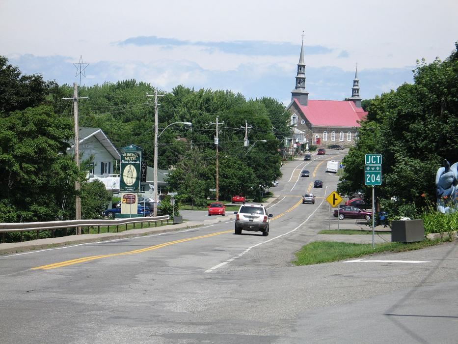


Map and nearest places
| Longitude | Latitude |
|---|---|
| 47.216667 | -70.266667 |
| 47°13'0"N | 70°16'0"W |
| Nearest places | ||
|---|---|---|
 | Quebec City | 85.6km |
| Quebec/Jean Lesage International Airport | 97.7km | |
| Bagotville Airport | 135.3km | |
| Edmundston Airport | 137.8km | |
| Frenchville | 142.1km | |
| Saguenay | 146.2km | |
| Chicoutimi | 147.1km | |
| Edmundston | 147.5km | |
| Northern Aroostook Regional Airport | 147.7km | |
| Chicoutimi/St-Honore Airport | 161.4km | |
| Caribou Municipal Airport | 174.6km | |
 | Caribou | 176.3km |
| John Paul II International Airport | 6,201.7km | |
| Albany Airport | 18,493.7km | |
Breweries
Weblinks
Comments
You need to log in to add comment