


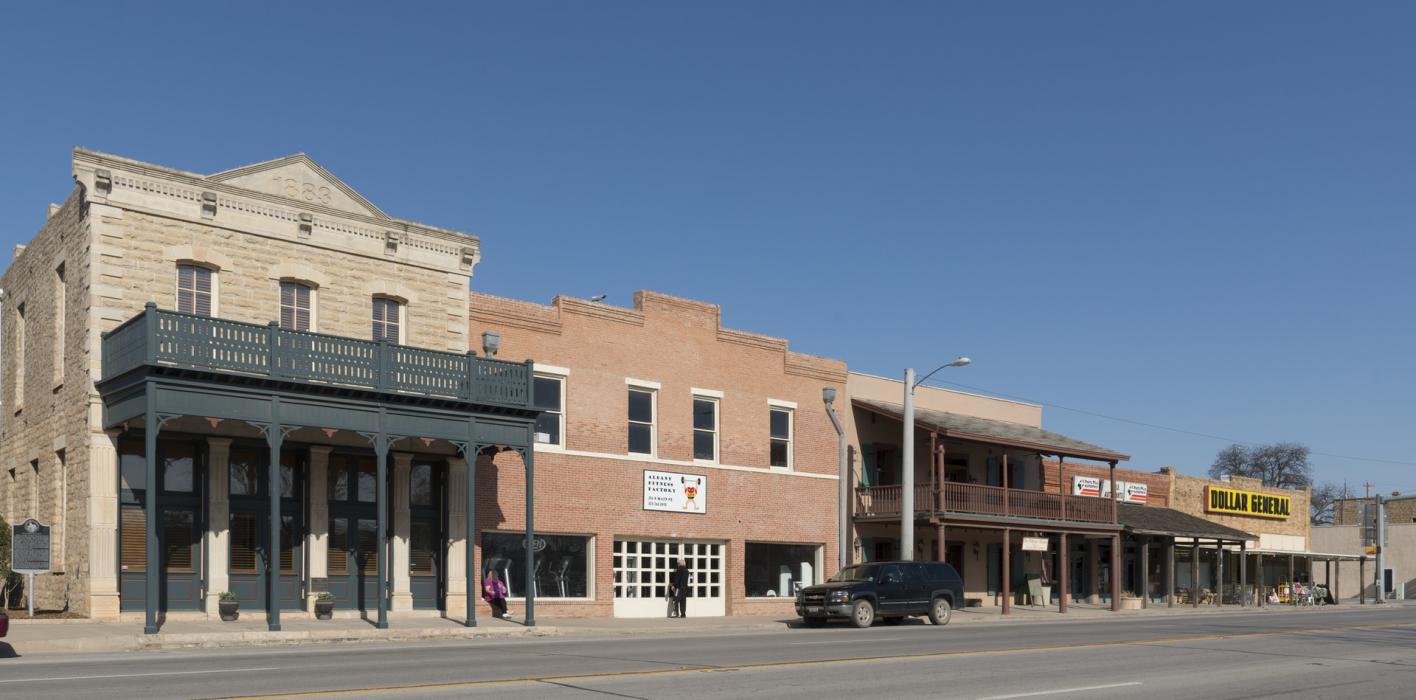
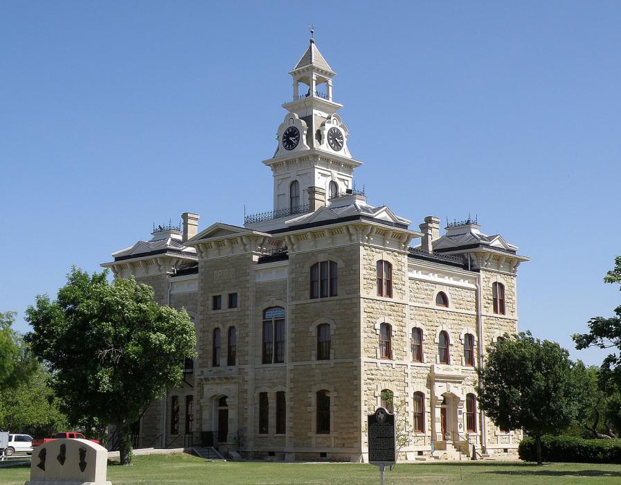
Gallery


Map and nearest places
| Longitude | Latitude |
|---|---|
| 32.726944 | -99.294444 |
| 32°43'0"N | 99°17'0"W |
| Nearest places | ||
|---|---|---|
| Breckenridge | 36.5km | |
| Stephens County Airport | 37.7km | |
| Abilene Regional Airport | 50.5km | |
| Abilene | 52.5km | |
| Graham | 78.7km | |
| Graham Municipal Airport | 81.2km | |
| Sweetwater | 108.1km | |
| Brownwood Regional Airport | 108.5km | |
| Comanche County-City Airport | 111.2km | |
| Comanche | 112.5km | |
| Avenger Field Airport | 113.5km | |
| Mineral Wells | 114.0km | |
| John Paul II International Airport | 9,033.9km | |
| Sir Gaëtan Duval Airport | 17,768.9km | |
Accomodation
Restaurants
Golfs club
Weblinks
Comments
You need to log in to add comment