


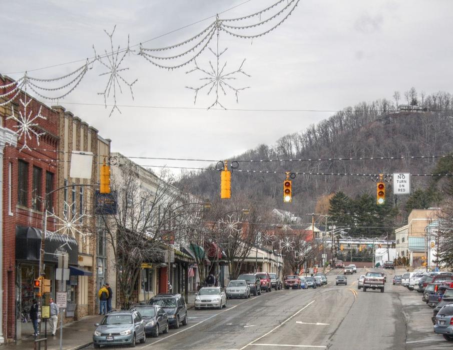
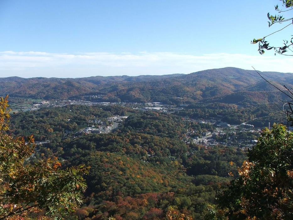
Gallery


Map and nearest places
| Longitude | Latitude |
|---|---|
| 36.211389 | -81.668611 |
| 36°12'0"N | 81°40'0"W |
| Nearest places | ||
|---|---|---|
| Banner Elk | 19.1km | |
| West Jefferson | 25.9km | |
| Jefferson | 29.3km | |
| Mountain City | 31.0km | |
| Ashe County Airport | 33.2km | |
| Lenoir | 35.1km | |
| Foothills Regional Airport | 43.8km | |
| North Wilkesboro | 47.5km | |
| Wilkes County Airport | 51.2km | |
| Hickory Regional Airport | 58.0km | |
| Virginia Highlands Airport | 62.2km | |
| Mountain Air Airport | 71.5km | |
| John Paul II International Airport | 7,727.8km | |
| Busselton Regional Airport | 18,437.1km | |
Accomodation
Restaurants
Breweries
Weblinks
Comments
You need to log in to add comment