


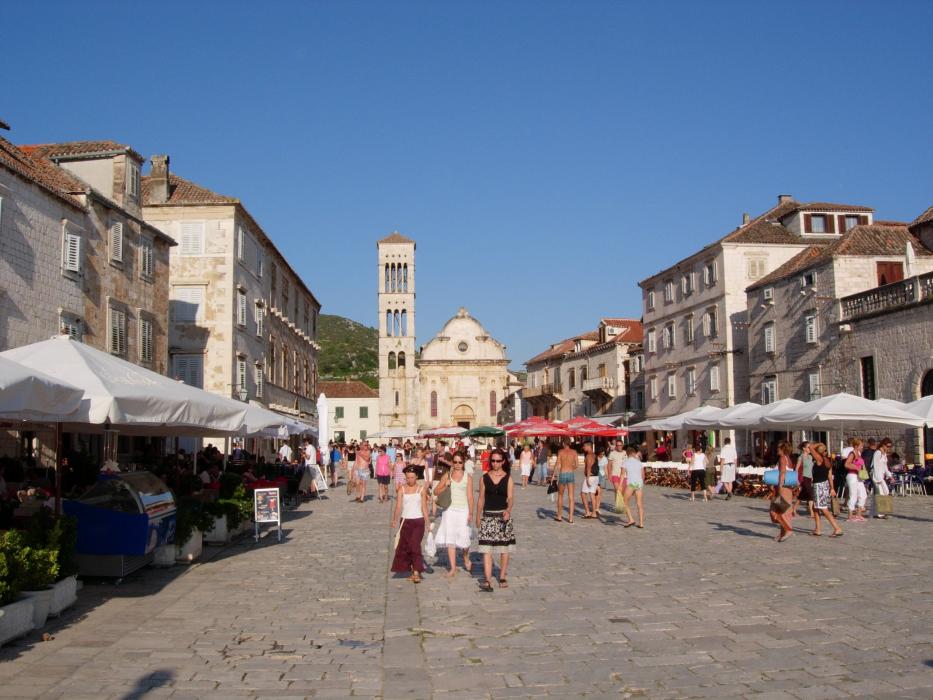
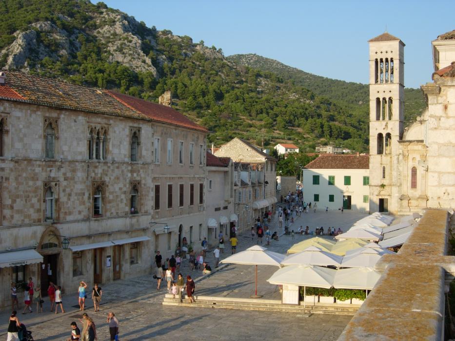
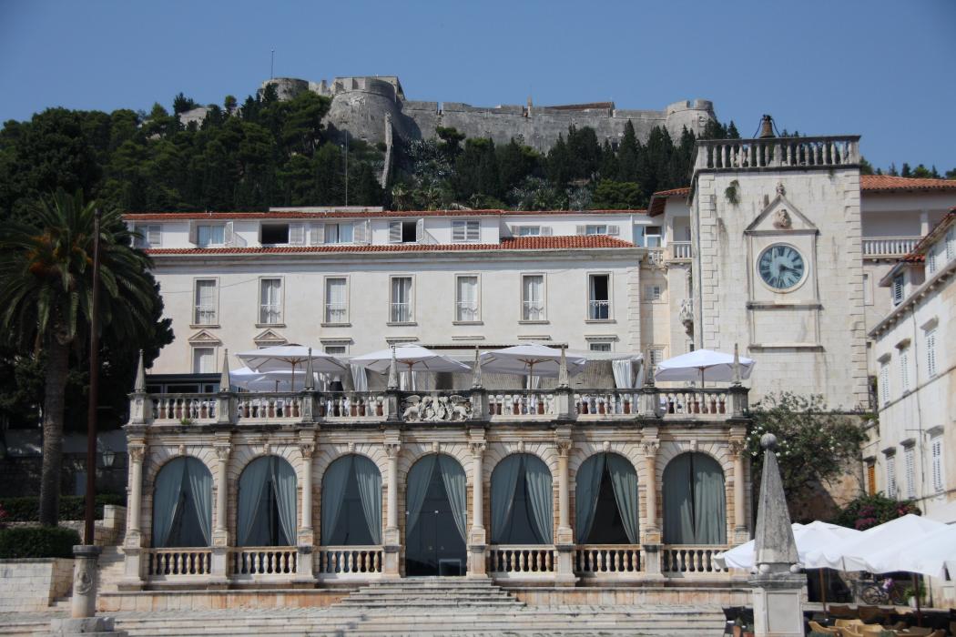
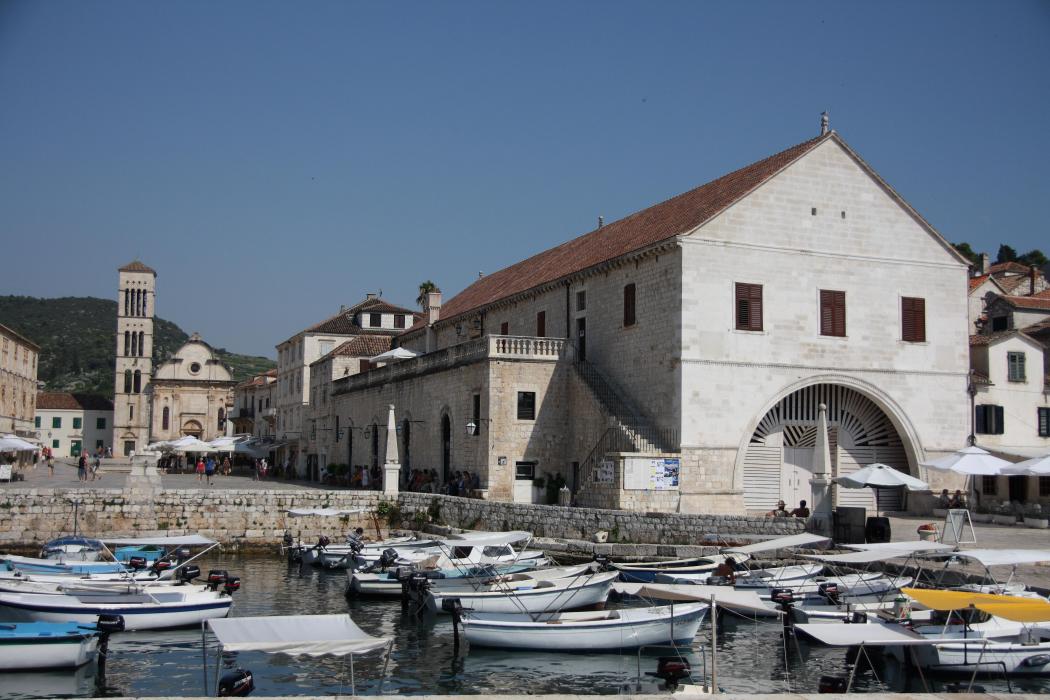
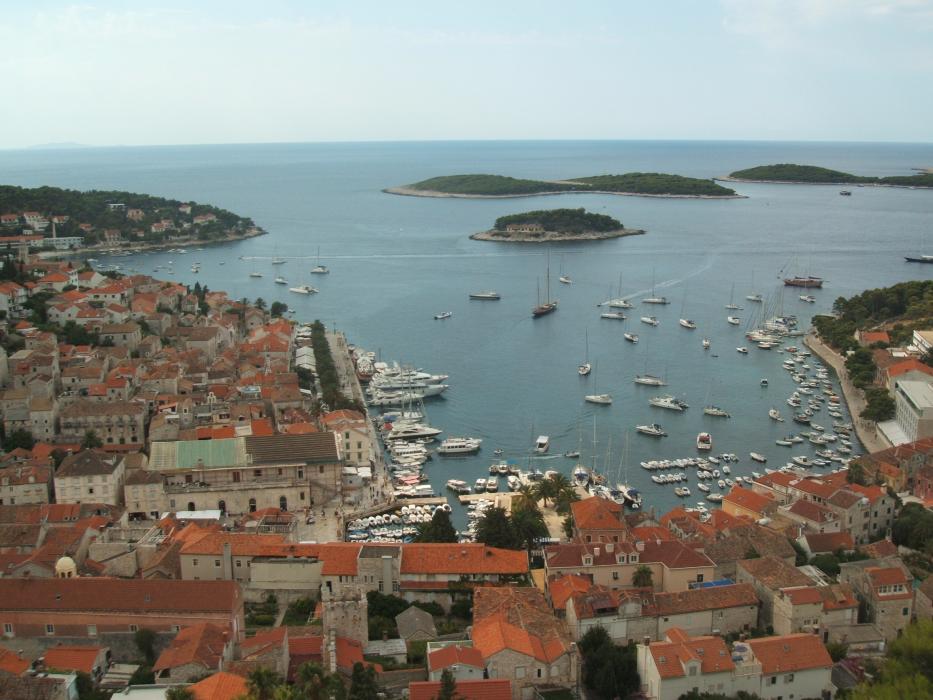
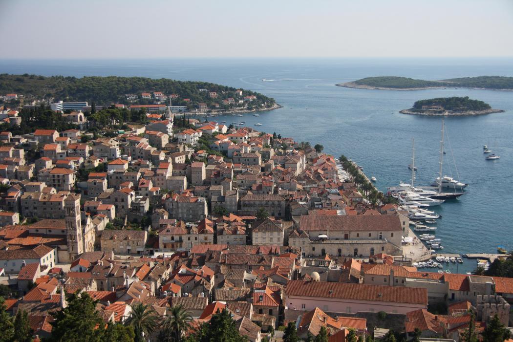
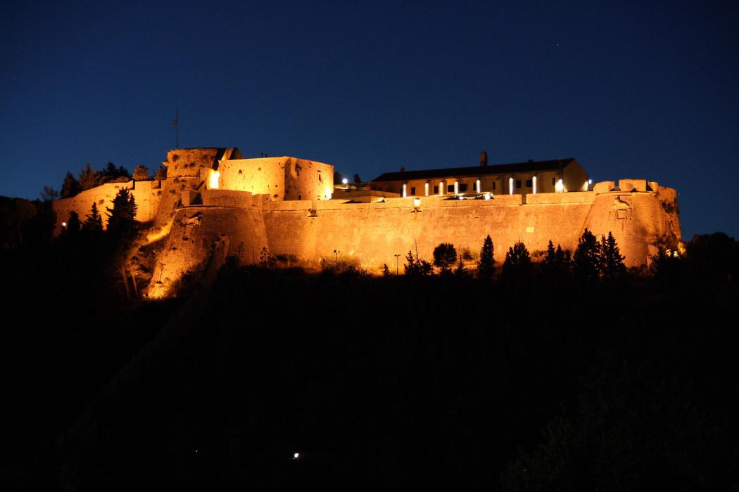
Gallery


Map and nearest places
| Longitude | Latitude |
|---|---|
| 43.1725 | 16.4427777777778 |
| 43°10'0"N | 16°26'0"E |
| Nearest places | ||
|---|---|---|
 | Stari Grad - Havr Island | 11.5km |
 | Bol - Brac Island | 19.8km |
 | Jelsa - Hvar Island | 20.3km |
| Bol Airport | 23.0km | |
| Vis - Vis Island | 24.1km | |
| Supetar - Brac Island | 24.9km | |
| Milna - Brac Island | 27.0km | |
| Split Kastela/Resnik Airport | 42.3km | |
| Ploce Airport | 81.5km | |
| Mostar International Airport | 114.3km | |
| Zadar Airport | 136.4km | |
| Dubrovnik Airport | 163.6km | |
| John Paul II International Airport | 808.9km | |
| Tuuta Airport | 18,973.1km | |
Weblinks
Comments
You need to log in to add comment