


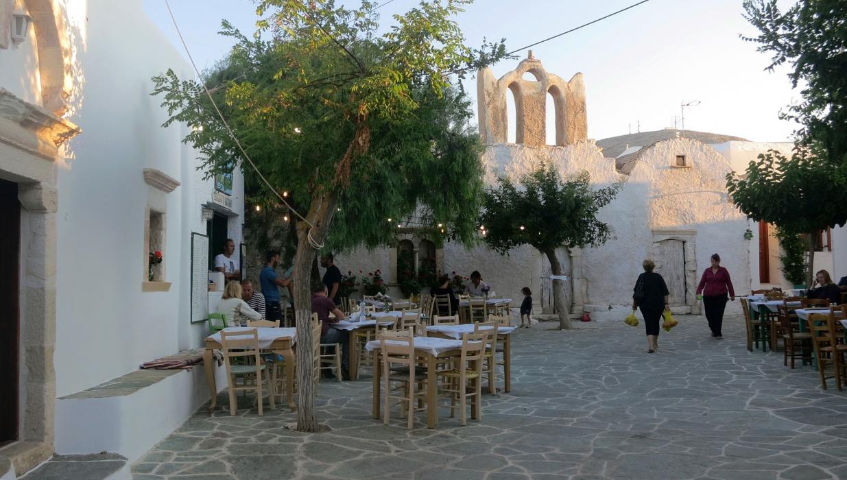
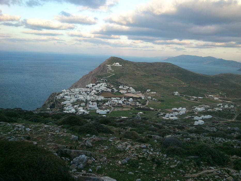
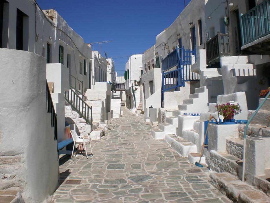
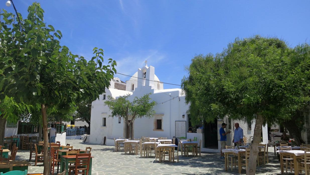


Map and nearest places
| Longitude | Latitude |
|---|---|
| 36.6166666666667 | 24.9 |
| 36°37'0"N | 24°53'0"E |
| Nearest places | ||
|---|---|---|
| Kimolos Island | 37.3km | |
| Milos Island National Airport | 38.7km | |
| Ios Island | 40.2km | |
| Milos - Milos Island | 43.5km | |
| Antiparos Island | 44.2km | |
| Paros Airport | 48.6km | |
| Santorini | 52.6km | |
| Iraklia Island | 54.6km | |
| Santorini National Airport | 57.1km | |
| Naxos Airport | 66.3km | |
| Syros Airport | 89.7km | |
| Mykonos Island National Airport | 99.3km | |
| John Paul II International Airport | 1,552.0km | |
| Tubuai - Mataura Airport | 18,447.6km | |
Accomodation
Weblinks
Comments
You need to log in to add comment