


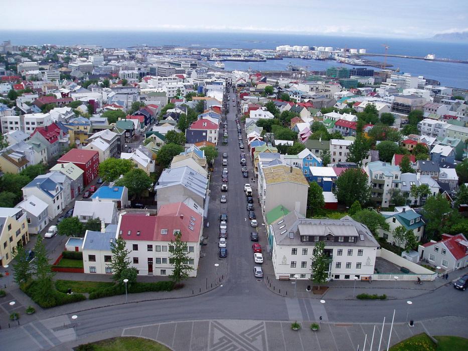
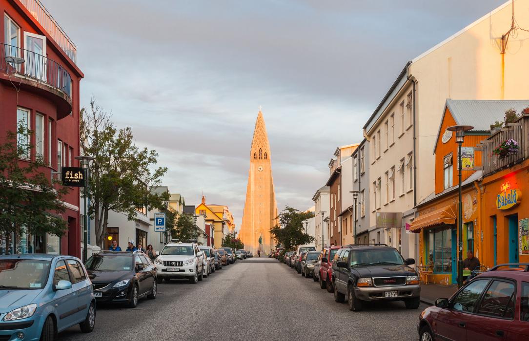


Map and nearest places
| Longitude | Latitude |
|---|---|
| 64.1333333333333 | -21.933333333333298 |
| 64°7'0"N | 21°55'0"W |
| Nearest places | ||
|---|---|---|
| Reykjavik Airport | 0.5km | |
 | Kópavogur | 2.8km |
| Mosfellsbær | 11.1km | |
| Kelfavik | 34.5km | |
| Keflavik International Airport | 36.6km | |
 | Grindavik | 41.3km |
| Borgarnes | 44.5km | |
| Selfoss | 50.7km | |
| Stykkisholmur Airport | 110.7km | |
| Vestmannaeyjar Airport | 113.3km | |
| Reykholar Airport | 147.0km | |
| Holmavik Airport | 175.1km | |
| John Paul II International Airport | 2,887.1km | |
| Stewart Island Airport | 18,003.0km | |
Restaurants
Museums
Golfs club
Spirits Distillery
Airports

Weblinks
Comments
You need to log in to add comment