


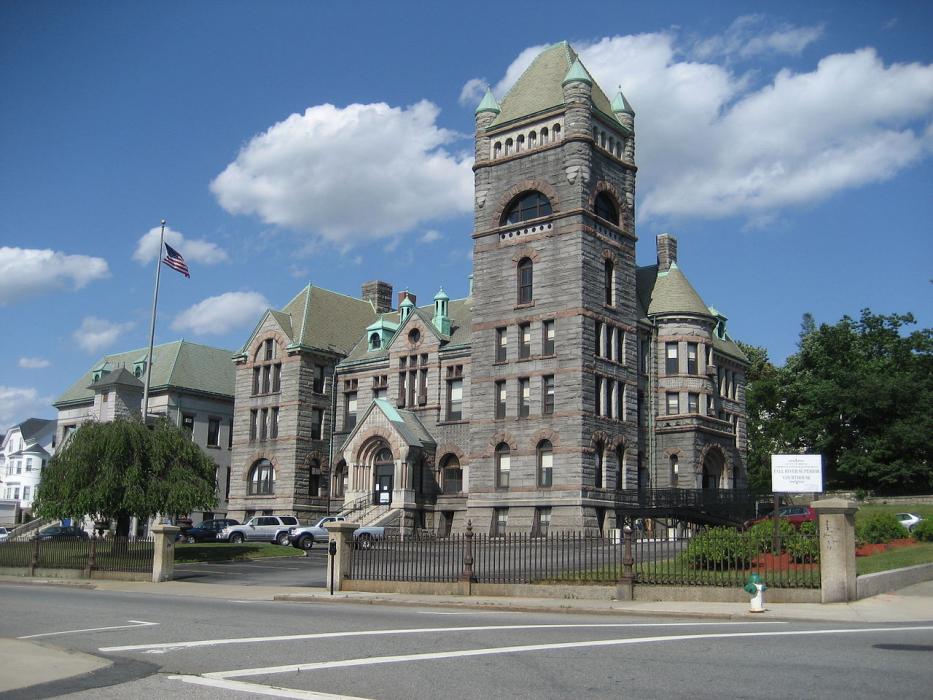


Map and nearest places
| Longitude | Latitude |
|---|---|
| 41.701389 | -71.155556 |
| 41°42'0"N | 71°9'0"W |
| Nearest places | ||
|---|---|---|
 | Westport | 11.2km |
| Portsmouth | 13.7km | |
| New Bedford Regional Airport | 16.7km | |
 | Dartmouth | 18.2km |
| New Bedford | 19.7km | |
| Middletown | 20.7km | |
| Newport State Airport | 21.5km | |
| Taunton Municipal Airport | 22.4km | |
 | Taunton | 22.7km |
| T. F. Green Airport | 22.8km | |
| Quonset State Airport | 24.3km | |
| Mansfield Municipal Airport | 33.4km | |
| John Paul II International Airport | 6,654.6km | |
| Busselton Regional Airport | 18,955.1km | |
Accomodation
Restaurants
Breweries
Weblinks
Comments
You need to log in to add comment