


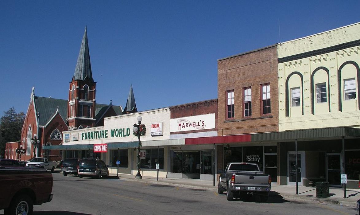
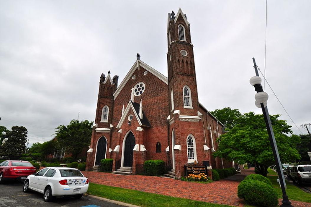
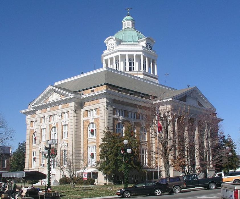


Map and nearest places
| Longitude | Latitude |
|---|---|
| 35.195833 | -87.034444 |
| 35°11'0"N | 87°2'0"W |
| Nearest places | ||
|---|---|---|
| Lynnville | 20.3km | |
| Lawrenceburg | 27.8km | |
| Maury County Airport | 41.9km | |
 | Fayetteville | 42.4km |
| Fayetteville Municipal Airport | 45.4km | |
| Columbia | 46.6km | |
| Madison County Executive Airport | 57.2km | |
| Madison | 59.8km | |
| Pryor Field Regional Airport | 60.8km | |
| Shelbyville | 62.1km | |
| Huntsville International Airport | 66.5km | |
| Shelbyville Municipal Airport | 67.2km | |
| John Paul II International Airport | 8,131.1km | |
| Busselton Regional Airport | 17,955.9km | |
Accomodation
Restaurants
Wineries
Weblinks
Comments
You need to log in to add comment